
Hiking in Cannon Beach: A Complete Guide
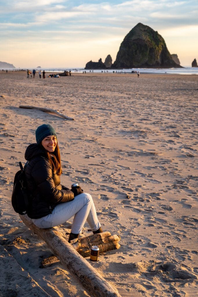
As self-identifying mountain people (not beach people) AND people who don’t really like crowds, you might be surprised to learn that we actually really enjoy Cannon Beach.
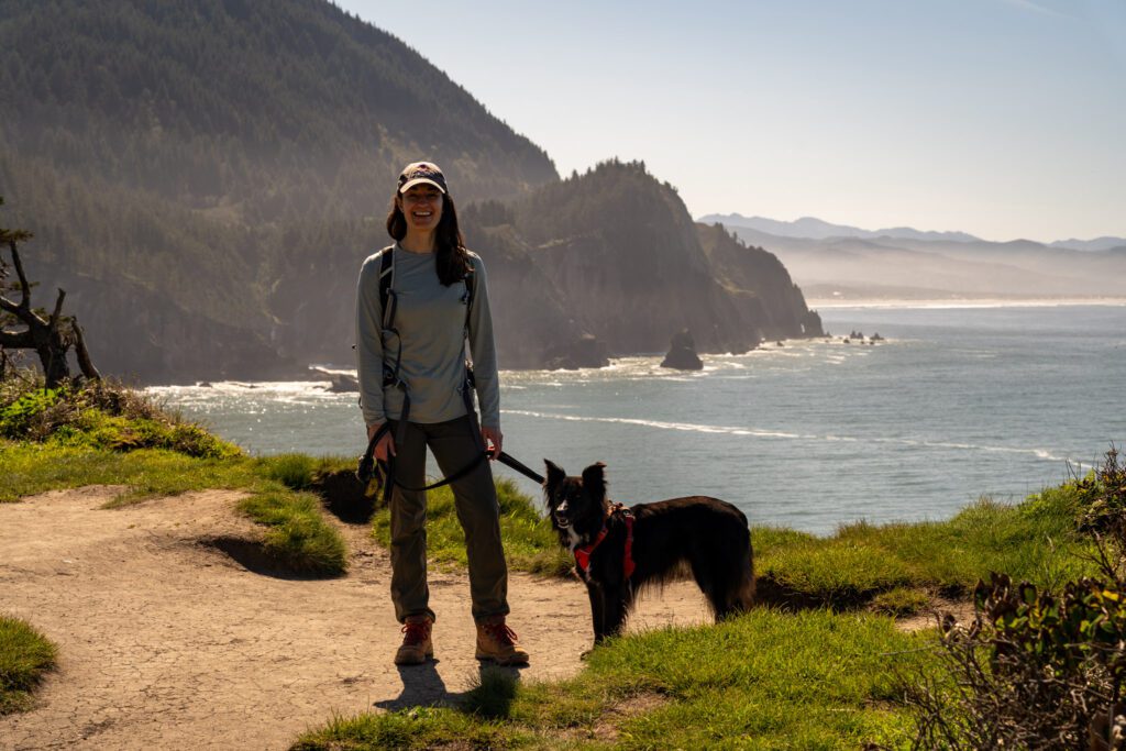
We try to make it out to Cannon Beach a few times a year, and most of our days are spent on the trail (so we’ve done most of them multiple times at this point).
Normally, on the Oregon Coast, there aren’t many trails to choose from if you’re looking for a hike that will get your blood pumping and last more than a mile or two.
Cannon Beach and the surrounding area seem to be the exception to that rule.
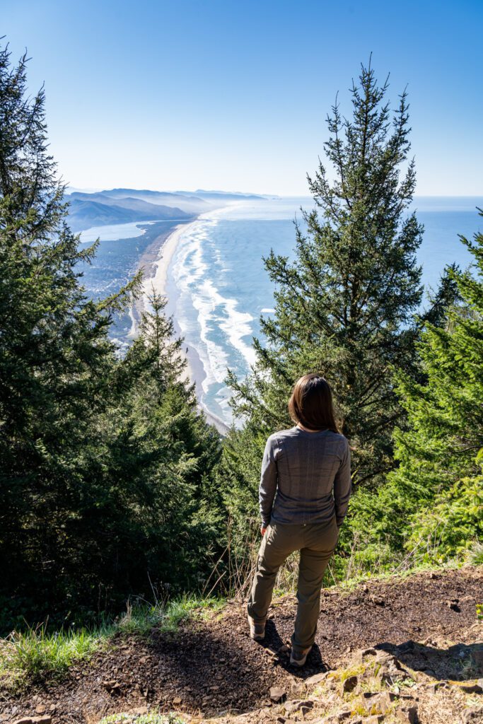
There are a nice variety of hikes to choose from within a short drive of Cannon Beach, from hikes to wide sandy beaches to hikes that give you sweeping views out over the beautiful Oregon Coast.
The two main areas where you’re going to find these hikes are in the state parks on either side of Cannon Beach.
There’s Ecola State Park, which sits just north of Cannon Beach, and Oswald West State Park, which sits a short drive down 101 to the south of Cannon Beach.
Both have at least a couple of great hikes to tackle.
In this guide, we’re going to go over our favorite hikes near Cannon Beach, along with a couple of trails that we have done, but don’t think are worth your time and effort (especially if it’s limited).
We’ll give you the trail information, a short description of the hike and why we think it’s worthwhile, and any important information you need to know before you hit the trail.
Importantly, we’ve done every single hike on this list, sometimes multiple times, so we’re talking from personal experience here.
Our intention is that by the end of this guide, you’ll have a few hikes to add to your itinerary that will make it a great trip.
Sound good to you? Let’s get into it.
Disclaimer: Some of the links in this post, like hotel links, are affiliate links, meaning at no additional cost to you, we make a little bit of money if you click through and book. That being said, we would never recommend something to you that we don’t stand behind 100%.
The Neahkahnie Mountain Trail (Oswald West State Park)
- Length: 3.5 miles
- Elevation Gain: 1,100 feet
- Trail Type: Out and Back
- Difficulty: Moderate
- Pass Required? Oregon State Parks Pass
- Dog-Friendly? Yes, on a leash
- Trailhead Location: Neahkahnie Mountain Trail – South Trailhead
- Alltrails Link: South Neahkahnie Mountain Trail
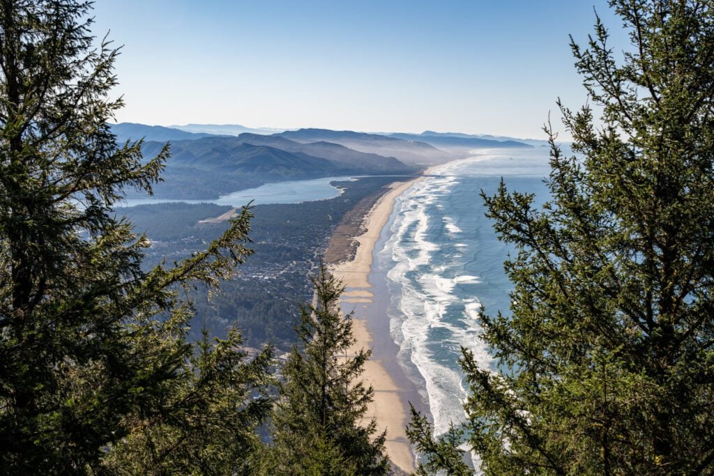
If you’re looking for the single best view of the Oregon Coast near Cannon Beach, we’d say that the top of Neahkahnie Mountain is somewhere near the top of the list.
First of all, there are multiple trails that you could use to get to the summit, but the one you want is the approach from the south, which involves a short drive on a well maintained dirt road off of Highway 101.
The hike itself is nothing special, but it’s a good workout. It’s straight up, straight down, climbs right around 1,000 feet over the course of a mile and a half via a set of switchbacks.
The trail can be muddy, especially outside of the late summer and early fall, and you’ll find lots of exposed roots that can be extremely slippery (ask me how I know). Sturdy footwear is going to be your friend on this hike!
At the top, there is a gorgeous view out over the Oregon Coast that stretches to the south. You can see Neahkahnie Beach and Manzanita in the foreground, with Nehalem Bay and Rockaway Beach further down the coast.
It’s a great view, and if you’re up for a workout, it’s a nice hike. The best views, in our opinion, are the ones you need to work for, and this hike definitely scratches that itch.
The Cape Falcon Trail (Oswald West State Park)
- Length: 4.5 miles
- Elevation Gain: 600 feet
- Trail Type: Out and Back
- Difficulty: Moderate
- Pass Required? Oregon State Parks Pass
- Dog-Friendly? Yes, on a leash
- Trailhead Location: Cape Falcon Trailhead
- Alltrails Link: Cape Falcon Trail
Cape Falcon is another great hike in Oswald West State Park, but we have had mixed experiences on this particular trail.
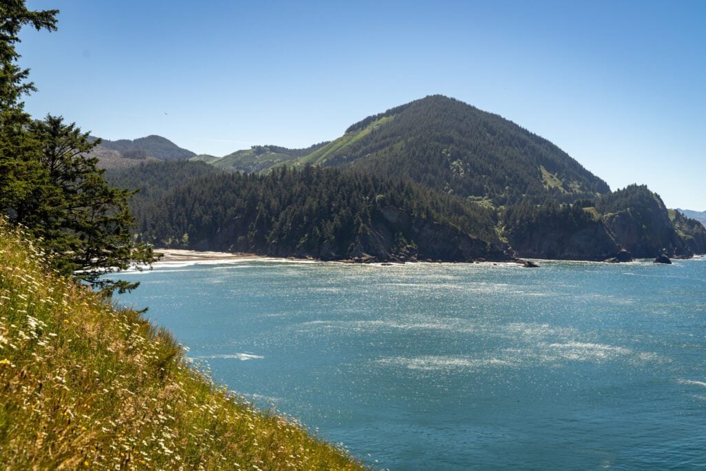
On our latest trip out to Cape Falcon, it was only slightly muddy despite being in the spring (a very dry spring, which is notable), and it was a lovely hike out to the Cape, where you have a nice view looking back at Short Sand Beach.
However, on our first trip out to Cape Falcon years ago, this was easily the muddiest hike we had ever done in our lives.
The first three quarters of a mile was just ankle deep mud with no way to escape it (aside from turning around and going back to the car).
Do not wear your white sneakers on this hike. Wear high top hiking boots if you have them, and make sure you’re okay with everything you’re wearing being covered in mud splatter.
The hike is a relatively simple out and back, with a moderate climb along the way. You’ll end out on the point, with nice views across Smuggler’s Cove, the bay that Short Sand Beach is tucked into.
You can include Short Sand Beach as part of this hike relatively easily. There’s a trail junction 0.5 miles in where you’ll stay right to head out to Cape Falcon.
If you go left there, the trail switchbacks down to Short Sand Beach (which you can also access via a short trail from the parking lot later).
We’d add it on the way back, after you’ve been out to Cape Falcon. In that scenario, you’d actually be veering right at the junction to head down to the beach.
You may have noticed that we didn’t include the Elk Flats Trail to Short Sand Beach, another hike in Oswald West that approaches Short Sand from the south (the opposite side from Cape Falcon).
It’s not here because that hike is incredibly overgrown and muddy (we’ve attempted it twice, completed it once), and doesn’t offer much of a view other than the viewpoint at Devil’s Cauldron, which is a short walk from the parking area that we would say is worthwhile.
Ecola Point to Indian Beach (Ecola State Park)
- Length: 4 miles
- Elevation Gain: 900 feet
- Trail Type: Out and Back
- Difficulty: Easy / Moderate
- Pass Required? Oregon State Parks Pass
- Dog-Friendly? Yes, on a leash
- Trailhead Location: Indian Beach Trailhead
- Alltrails Link: Indian Beach Trail
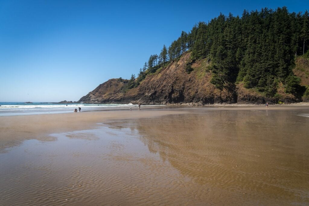
The hike between Ecola Point, the first parking lot you encounter when you drive into Ecola State Park, and Indian Beach, the second parking lot in Ecola State Park, is one of our favorite hikes on the entire coast.
It has it all: sweeping coastal views up and down the coast, a wide sandy beach as your destination, and a winding trail through a forest of dense sitka spruce (with a ferny understory) that climbs enough to get your blood pumping, but not enough to leave you wiped for the rest of the day.
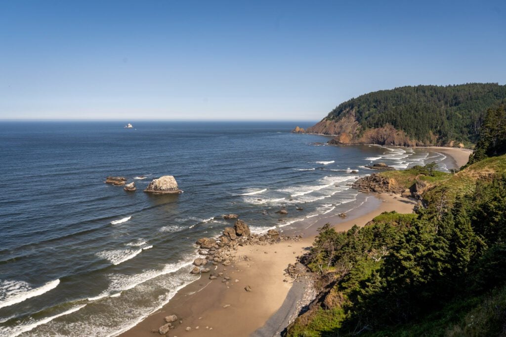

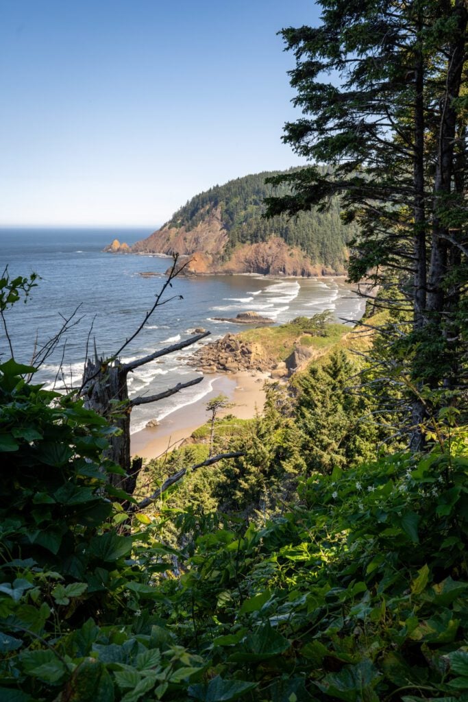
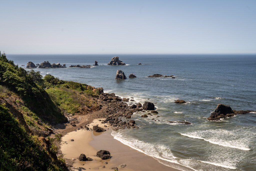
The trail begins from the big parking lot at Ecola Point and starts out with a short climb that brings you to the high point of the hike (~500 feet above sea level) about a mile in. From there, it’s a long downhill to Indian Beach.
Along the way, there are a couple of really nice peek-a-boo views of the coast, particularly at the very beginning and then as you get down towards the beach.
The return to Ecola Point is a big, moderate climb that ascends 500 feet over a mile before ending with a short downhill stretch.
Indian Beach is a wide, sandy beach that is popular with surfers. You can drive all the way to the beach, so don’t expect seclusion when you get there. There are bathrooms in the parking lot at Indian Beach.
Crescent Beach from Ecola Point (Ecola State Park)
- Length: 2.7 miles
- Elevation Gain: 600 feet
- Trail Type: Out and Back
- Difficulty: Easy / Moderate
- Pass Required? Oregon State Parks Pass
- Dog-Friendly? Yes, on a leash
- Trailhead Location: Ecola Point Parking Lot
- Alltrails Link: Crescent Beach Trail
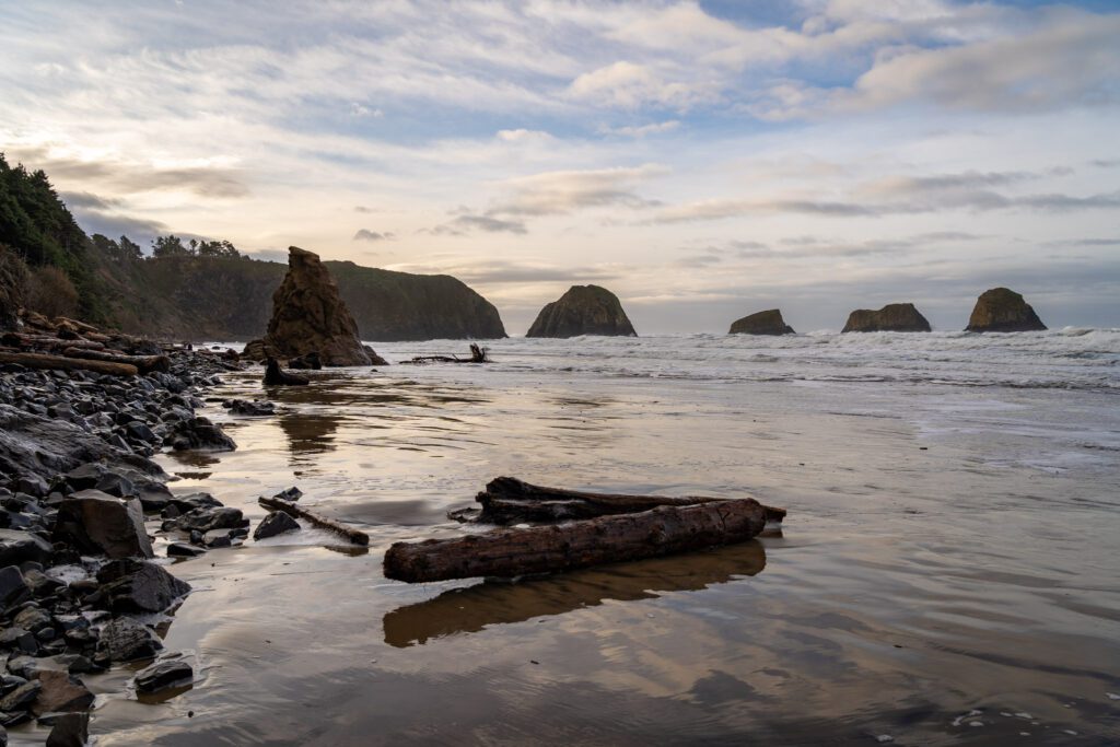
As we alluded to above, we really like this hike too, but for different reasons. The destination is better, we’d say, but the hike itself is less scenic.
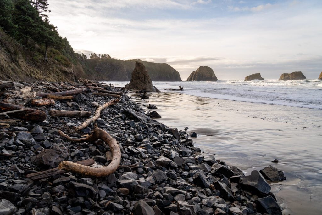
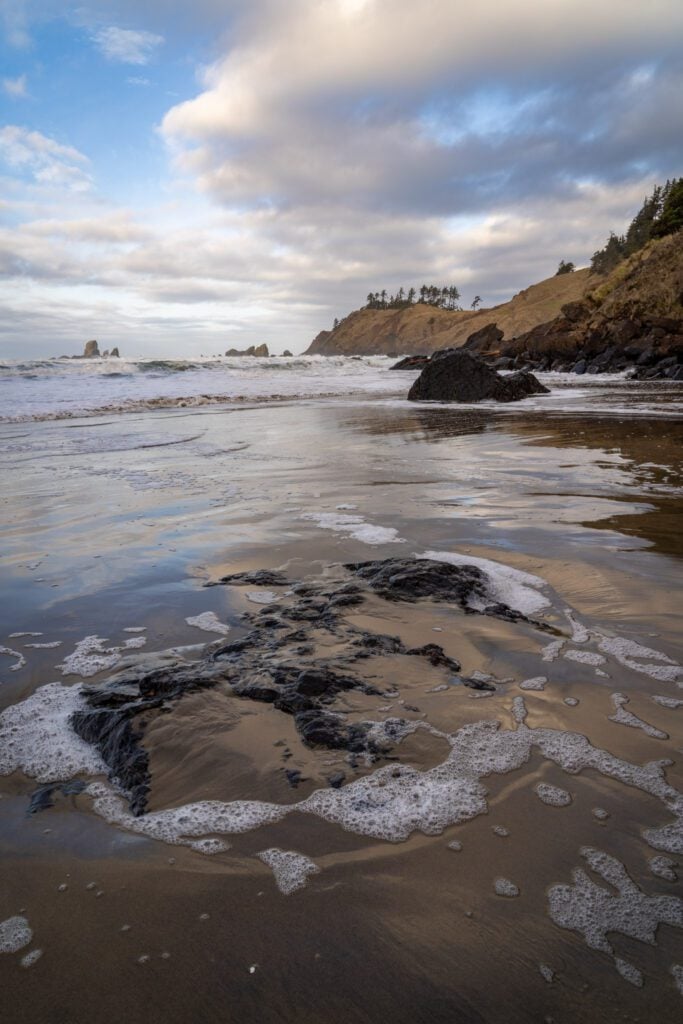
Crescent Beach is a smaller, less-visited beach that you can’t drive up to, which we like better than Indian Beach.
However, the hike to get down to Crescent Beach is not nearly as scenic as the one between Ecola Point and Indian Beach because you’re in the forest the entire time.
It’s a downhill walk on the way there, and the trail follows the road for the first bit.
Then you split from the road and hike down a set of switchbacks to get down to the water. It’s steep, but the switchbacks help make it more manageable.
There’s exactly one confusing part of this hike, and it’s a fake trail junction where the trail forms a y, with the right hand fork heading down a set of wooden stairs.
DON’T TAKE THE STAIRS. The trail continues to the left and winds its way down to the beach.
The worst part of this hike is the fact that it’s downhill on the way out, which means you have to climb all that way on your way back to the car.
It’s moderately difficult as coastal hikes go, climbing about 500 feet in 1.4 miles, but not anything near what you’d encounter in the mountains where you’re often climbing 500+ feet per mile.
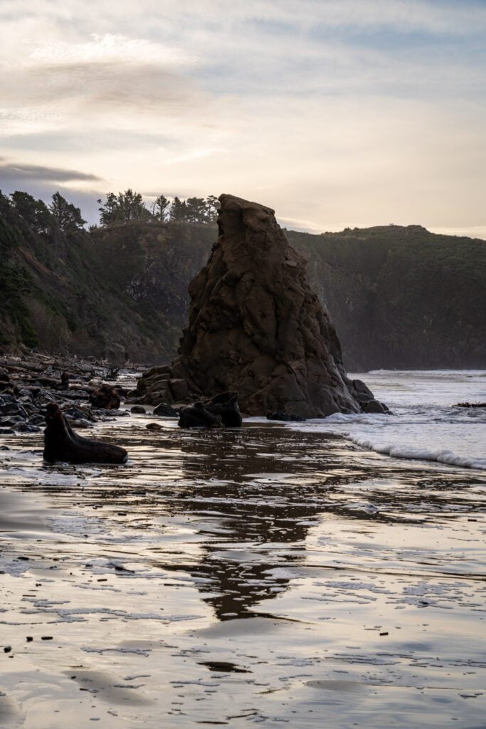
With time for only one hike in Ecola State Park, should you do Ecola Point to Indian Beach or Crescent Beach?
I will give you the exact same advice that I gave the couple from Texas in this parking lot when they asked me which trail they should do.
I prefer the destination of Crescent Beach because you can’t drive to it, so there are never nearly as many people there, but the hike between Ecola Point and Indian Beach is significantly nicer with more coastal views throughout.
You’ll notice that we didn’t even include the Clatsop Loop Trail that leaves from Indian Beach on this list. We’ve done it. We were perplexed at why you would do it.
It’s a nice forest to walk through, but the other two hikes in the park are significantly more scenic.
The Saddle Mountain Trail (Saddle Mountain State Recreation Area)
- Length: 5 miles
- Elevation Gain: 1,800 feet
- Trail Type: Out and Back
- Difficulty: Difficult
- Pass Required? None
- Dog-Friendly? Yes, on a leash (but read below for a note!)
- Trailhead Location: Saddle Mountain Trailhead
- Alltrails Link: Saddle Mountain Trail
This is the one wildcard hike in this guide that’s not really in Cannon Beach, but is such a nice hike that it deserves a spot on this list.
It’s roughly 30 minutes from Cannon Beach, and it’s along Highway 26 (which is the road that you’ll be driving if you’re coming from Portland).
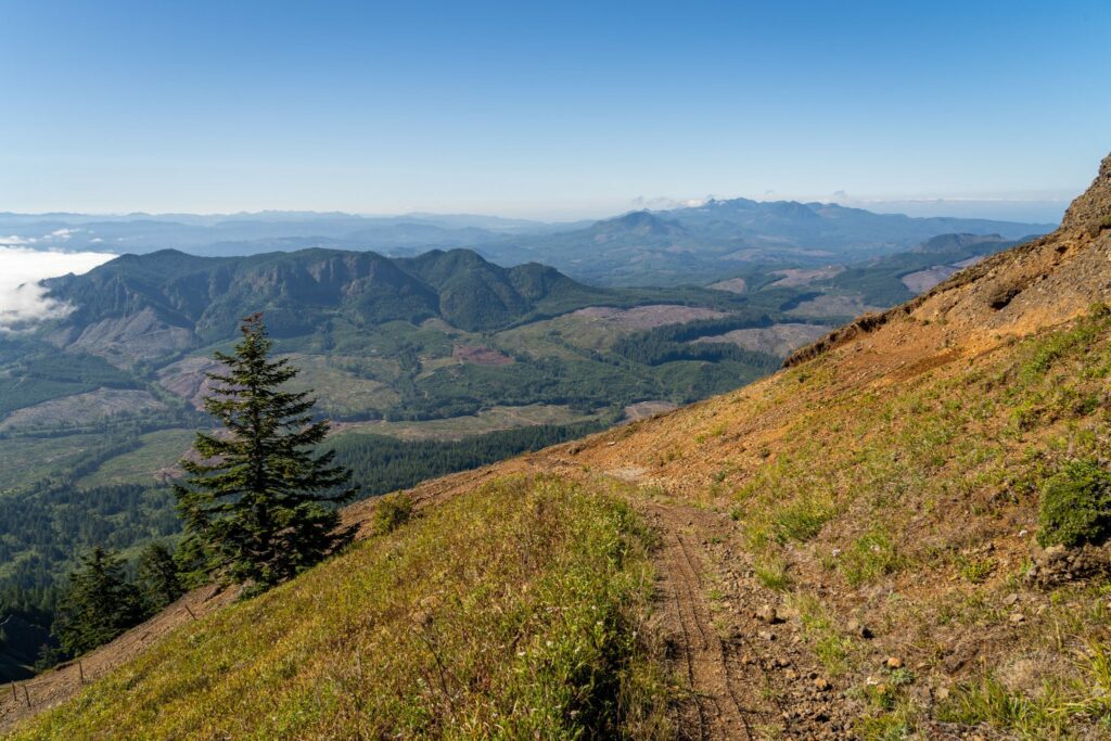
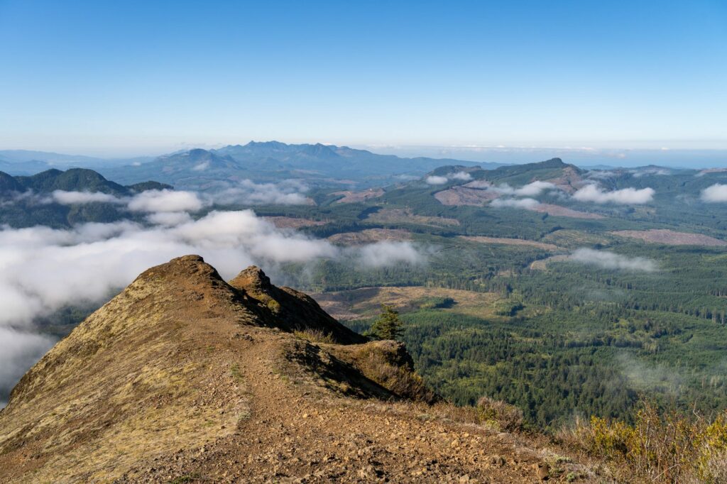
Saddle Mountain isn’t really a coastal hike, but the big, 360-degree view from the top includes the Oregon Coast range and, on a clear day, the Oregon Coast itself (along with Mount Rainier, Mount St. Helens, and Mount Hood if you’re lucky).
The road up to Saddle Mountain was closed for what seemed like forever due to downed trees and damage associated with a big storm, and when you drive in on the road surrounded by dense forest, you’ll see why that was a problem.
We had this hike on our list for three or four years, checking the website to see if it was open yet, and when they FINALLY they announced an opening date, we were some of the very first people on the trail because we showed up at 7:30am on the first day it was open after years of closure.
This hike is the most difficult on this list, climbing 1,700 feet over the course of 2.5 miles on the way to the summit.
The last little bit of the climb is brutal, climbing ~400 feet in around a third of a mile, and it feels like you’re walking straight up a very steep hill.
But all that work pays off, because the reward waiting for you at the top is also the best reward of any hike on this list, we think.
The one thing to know about this hike is that most of the trail is covered in what is essentially a grate of (rusty) chicken wire to help with traction and erosion control. Which is mostly fine for humans (wear sturdy shoes!), but not great for your pup’s paws.
We’d avoid bringing your dog on this hike (we did bring Lupine on that hike, and she was fine, but we wouldn’t bring her again).
You can read more about this hike in our separate guide to hiking the Saddle Mountain Trail.
