
Hiking the Lake Angeles Trail: A Complete Trail Guide
Honestly, who doesn’t love a good alpine lake? We definitely do. Our favorite version of a summer day is a long climb to a crystal clear alpine lake, and Lake Angeles in Olympic National Park certainly scratches that itch for us.
Hurricane Ridge, the alpine section of Olympic National Park, has many to choose from (especially from the Obstruction Point Trailhead), but the most accessible of the bunch is Lake Angeles, which sits in a nice basin below Klahhane Ridge.
As you climb through the ferny forest on the way to Lake Angeles, you’ll start to notice the ecosystem shift, trading ferns for drier underbrush until you reach the rocky basin that the lake is nestled into.
In this guide, we’re going to cover everything you need to hike the Lake Angeles Trail safely and confidently.
We’ll talk about the best route, the best time of year and time of day to hit the trail, and then take you through a play-by-play of our experience on the hike so that you know exactly what to expect.
Sound good to you? Let’s get into it.
Disclaimer: Some of the links in this post, like hotel links, are affiliate links, meaning at no additional cost to you, we make a little bit of money if you click through and book. That being said, we would never recommend something to you that we don’t stand behind 100%.
Lake Angeles: Trail Details
- Length: 7.5 miles
- Elevation Gain: 2,500 feet
- Trail Type: Out and Back
- Difficulty: Hard
- Pass Required? National Park Pass
- Dog-Friendly? No
- Trailhead Location: Lake Angeles Trailhead
How Difficult is the Hike to Lake Angeles?
We’re not going to lie to you, this hike is a difficult, unrelenting climb from the trailhead all the way to the lakeshore.
It is not for the faint of heart, and we were covered in sweat by the time we reached the lake.
On the one hand, we prefer hikes that are straight up and straight down, rather than a series of rolling hills (which means you have to climb on the way back) or a hike that starts with a downhill and ends with a climb.
On the other hand, this trail is a bit of a slog because you’re in the forest from start to finish, so there are no views to keep you going until you emerge into the basin where you’ll find the lake.
The trail climbs 2,400 feet over roughly three and a half miles, which means you’re climbing ~650 vertical feet per mile of trail.
To us, anything over 500 feet per mile is in the “hard” category, so this hike is at the lower end of hard.
All that being said, this hike isn’t really technical and it’s almost entirely forested, so as long as you’re prepared for a long hike with a lot of climbing (appropriate footwear, snacks, and plenty of water), it’s a good workout with a nice payout at the end.
Getting to the Lake Angeles Trailhead
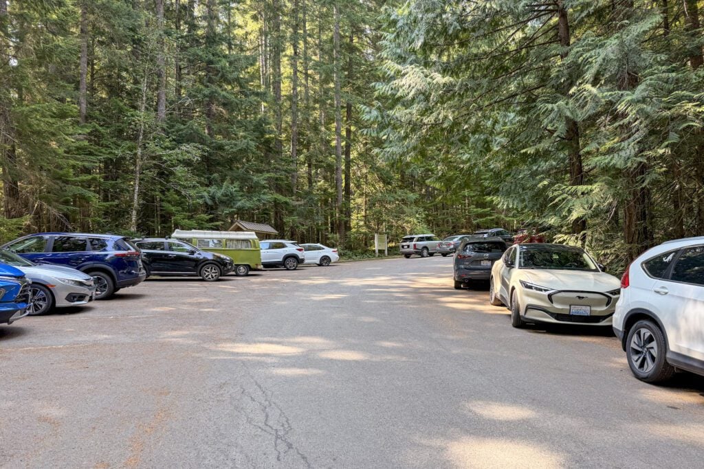
The trailhead for the hike up to Lake Angeles is just off Hurricane Ridge Road near the park entrance station (and a short drive to Heart O’ the Hills Campground).
The parking lot has room for right around 20 cars (I counted when we finished our hike and the lot was full), and it does fill up during the summer, so you should do your best to get an early start if you can swing it.
It’s also worth noting that there really isn’t any overflow parking.
If you show up and the lot is full, the only real option is to wait for someone to come back to their car, which isn’t ideal considering all of the hikes that leave from this trailhead are fairly long ones.
If you don’t want to deal with that parking situation, we have a great option for you: the Hurricane Ridge Shuttle.
From Memorial Day to Labor Day (roughly), the shuttle runs from the Gateway Transit Center in Port Angeles (here on Google Maps) up to the main parking lot at Hurricane Ridge, stopping at the Lake Angeles Trailhead (near the park entrance station on the road up) and the Switchback Trailhead on the way up.
It costs $1 per person, and you need to have your entry fee BEFORE you get on the bus (either a physical pass, or a digital version that you can display on your phone).
It’s only an option in the summer, but it’s great to have if you don’t want to drive yourself!
I asked a ranger how often it fills up, and they laughed and said “almost never”, which makes me think it’s going to be available, even on busy weekends.
The Best Time to Hike to Lake Angeles
There are two separate questions within the “best time” section, and we’re going to tackle both of them: the best time of year to hike this trail, and the best time of day to hike this trail.
In terms of the best time of year to hike to Lake Angeles, the answer is a little more complicated than some of the other trails in the area around Hurricane Ridge.
Most of the hikes at Hurricane Ridge start from somewhere around 5,000 feet above sea level, which means there’s going to be snow well into June and usually into July.
However, the difference between those trails and Lake Angeles is the fact that this hike starts from the base of Hurricane Ridge, which is much closer to sea level.
As a result, this hike sees a little bit less snow than those other trails, which means it’s usually accessible with limited snow starting in the middle of spring (call it April).
However, this is very much dependent on the year, and if there’s a big spring snowstorm you might run into more snow on the trail.
Best to check recent reviews on WTA or AllTrails before you head out if it’s a spring trip.
In terms of the best time of day to hike this trail, we’d say that the parking situation combined with the fact that there can be a long lineup at the entrance station (which you’d have to sit in to get to the trailhead) means that the earlier you can start, the better.
Even though the trailhead is just before the entrance station, you’ll still get caught in the lineup if you’re trying to get here during peak times because there is not a separate lane.
It’s almost entirely forested until you reach the lake, so sun exposure isn’t as much of a concern on this hike as it is on other trails up at Hurricane Ridge.
Our Experience Hiking the Lake Angeles Trail
We hiked this trail on a beautiful summer morning in early August, and it was a lovely day for a hike to an alpine lake.
We arrived in the parking lot bright and early at 7:30am to find it about half full (I assume most of the cars there were backpackers).
We did notice a couple of people park their cars and then walk over to the shuttle stop to catch it up to the top of Hurricane Ridge.
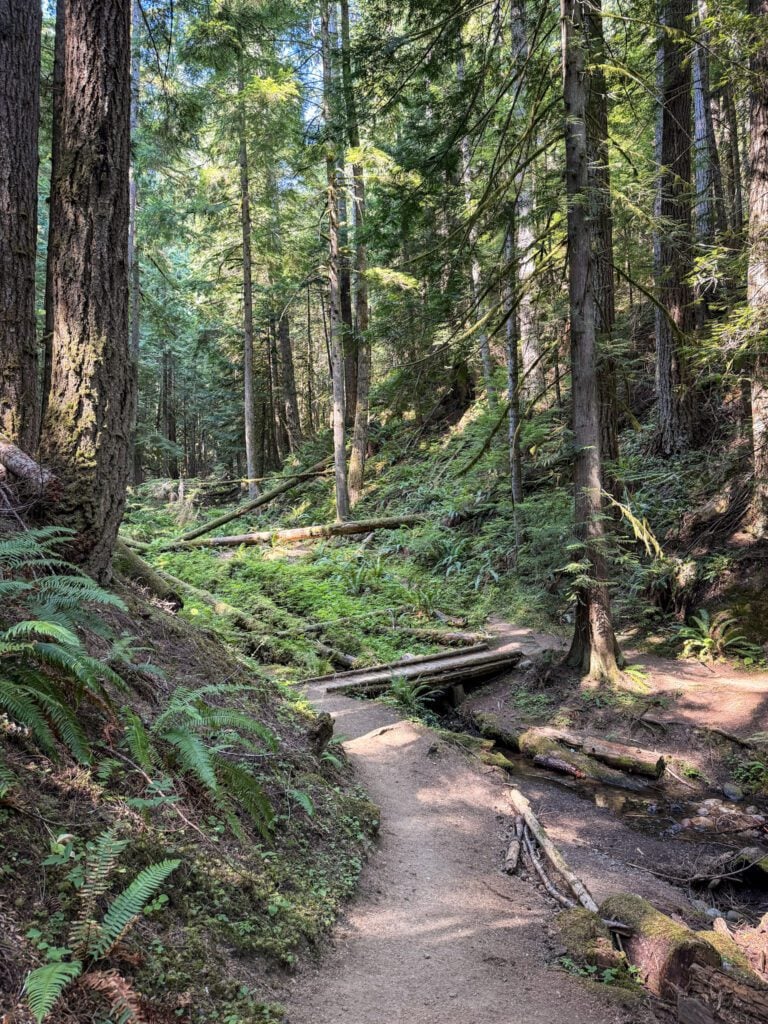
The beginning of this hike takes you through a picture-perfect stretch of rainforest, with all sorts of ferns covering the forest floor (it’s a second-growth forest – the original forest here burned 100 years ago).
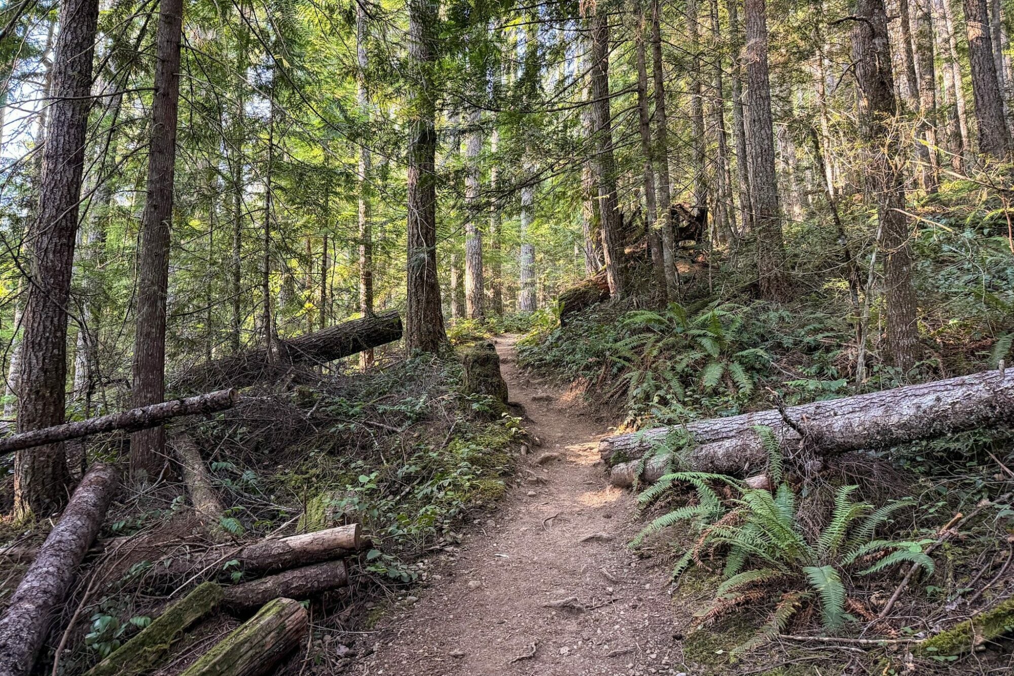
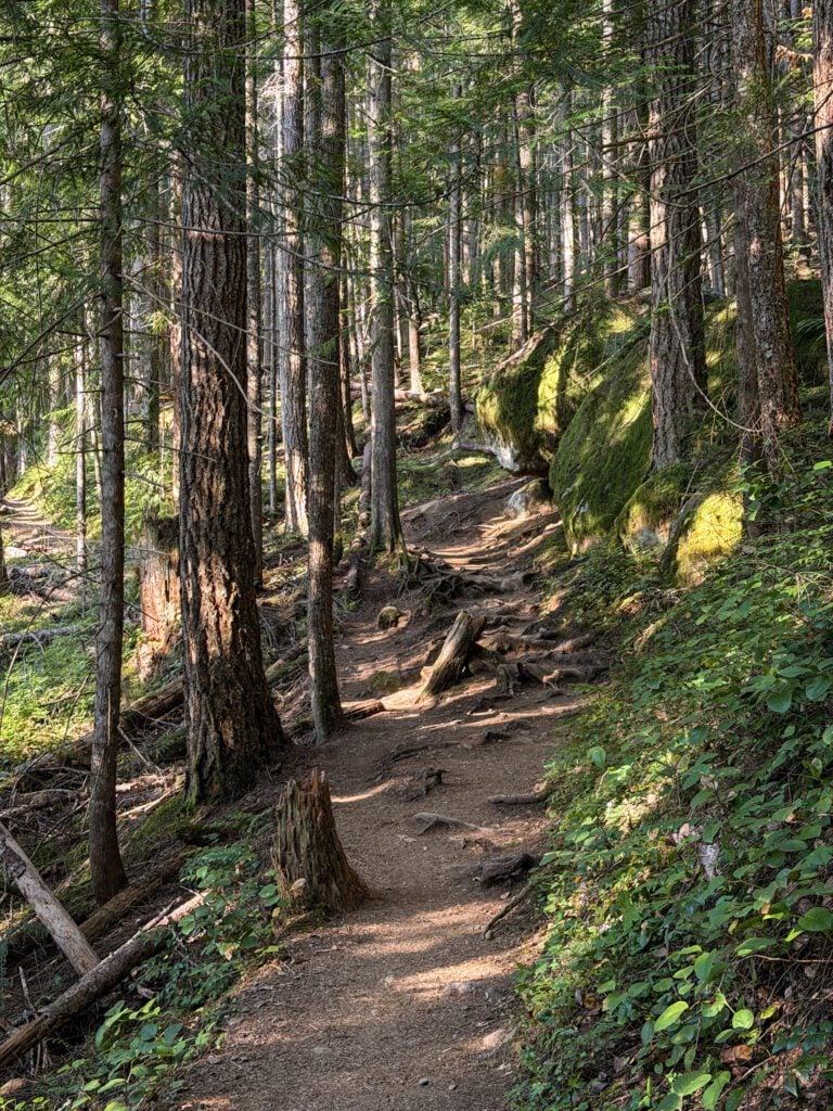
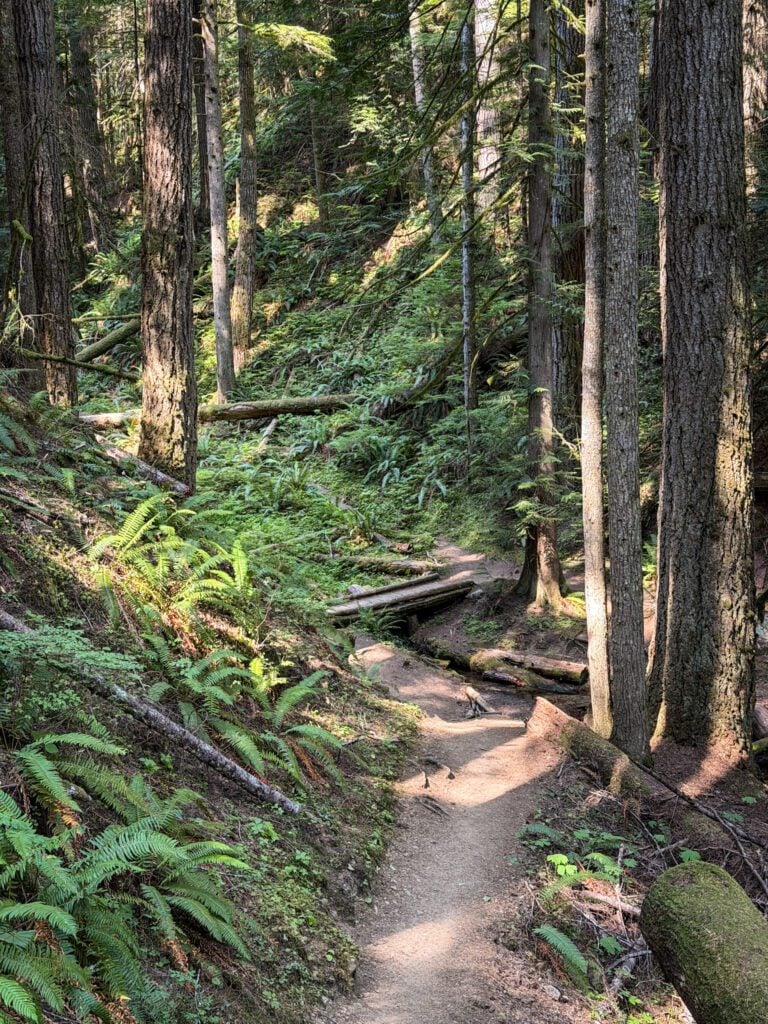
Within the first half mile, you cross a wooden footbridge over a creek, and right as you’re admiring the sheer amount of green surrounding you, the climb begins (and, spoiler alert, doesn’t stop until you reach the lake).
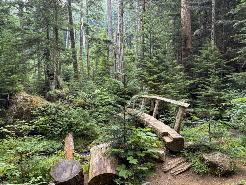
The climb here is very steady from this point to the top, with no notable steeper sections or flat sections to catch your breath.
Instead of focusing on the trail topography, we wanted to highlight the fact that this trail is a great example of the different ecosystems you see in Olympic National Park.
At the bottom, you’re pretty clearly in a rainforest that’s similar to the more famous Hoh and Quinault rainforests closer to the coast. It’s not quite as damp and mossy as those places, but you can see the resemblance for sure.
However, about half way into the climb, we were taking a water break and I took a second to look around.
To my surprise, the ferns were completely gone, and the forest we were hiking through seemed closer to forests in Central Oregon (or Washington) that are drier, with a less dense undergrowth and more pine trees.
On the way back down, I was looking for the moment where it transitions, and once again it happened in the blink of an eye.
One moment, pine trees and dust. The next moment, lush ferns and sitka spruce trees as far as the eye can see.
It was really interesting, I thought, and is a great illustration of how quickly ecosystems change, especially as you get to higher elevations.
Anyway, at roughly 3.5 miles into the hike, the trail levels out and you can see through the trees that you’re entering a big, rocky basin.
A few hundred feet later, you meet the junction with the Klahhane Ridge Trail, which takes you up another 1,800 feet to the top of the ridge above the lake.
Keep left at the junction and you’ll finally find yourself at the lakeshore on the northern end of the lake.
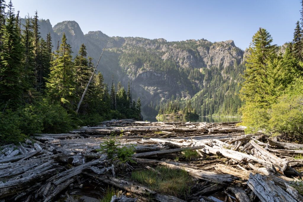
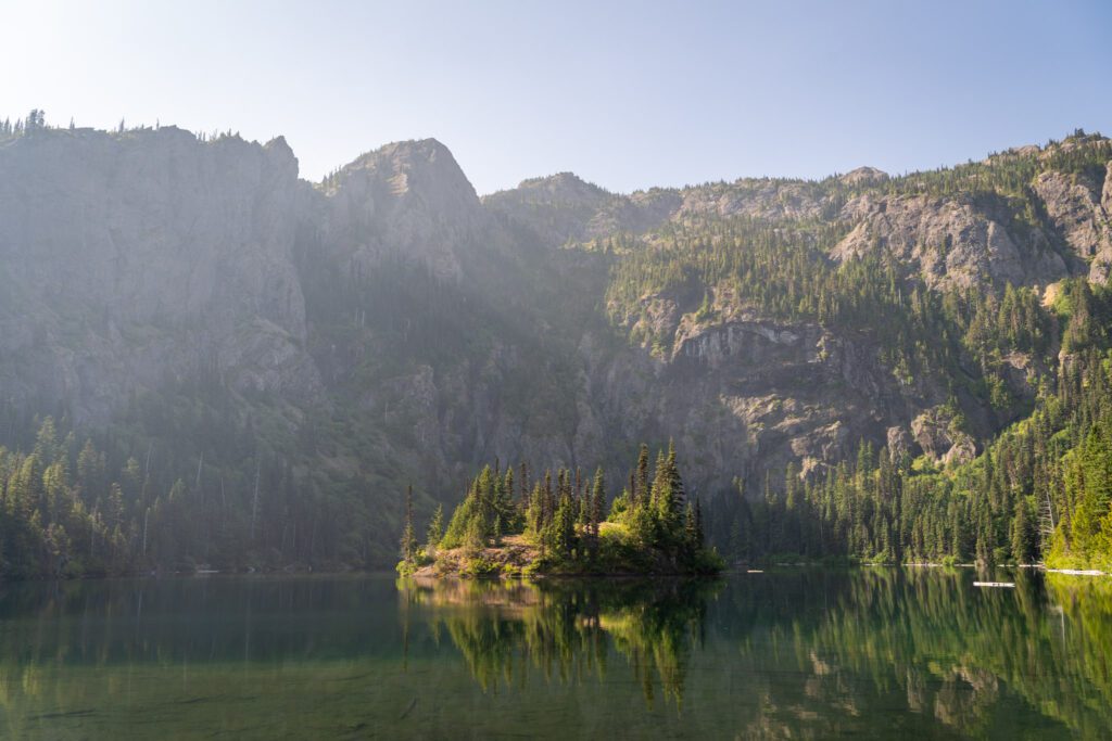
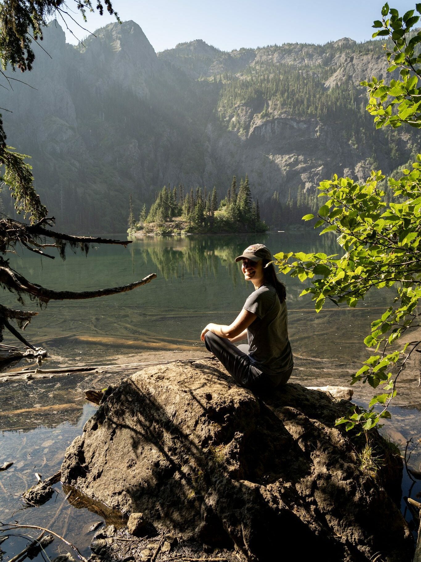
As you look south across the lake, you’ll see a beautiful little tree-covered island in the middle of the lake backed by the rocky ridgeline towering above it all.
It’s a nice lake, and it’s a lovely backdrop for a rest, some water, and a well-earned snack before you head down the way you came.
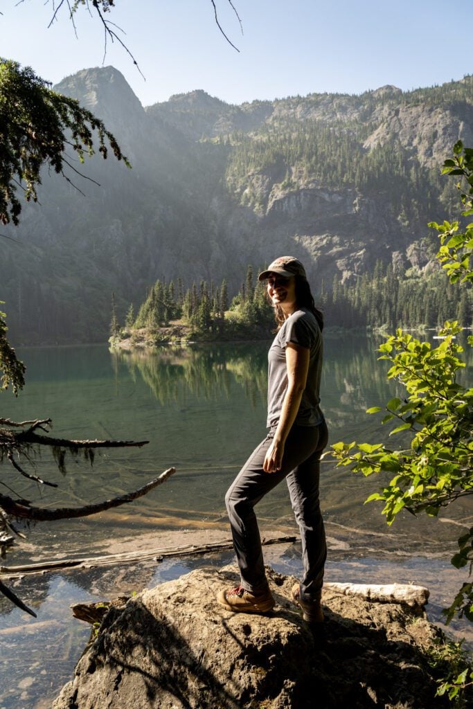
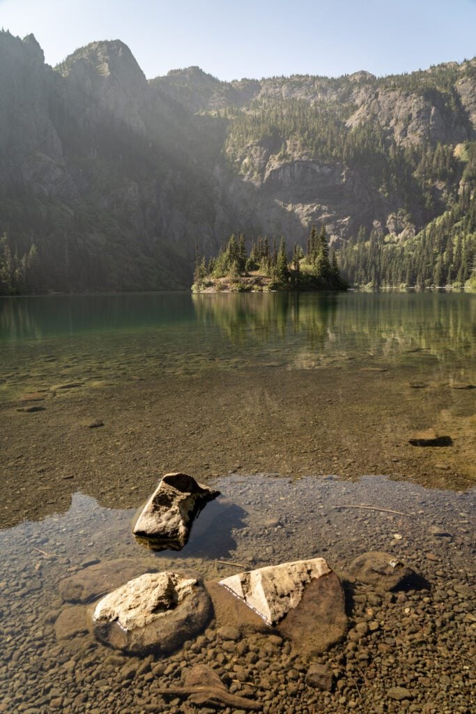
There are spur trails on either side of the lake with campsites for backpackers (you need a wilderness permit and a bear canister, which you can rent at the Wilderness Information Centers).
If you want to cross the creek to the eastern shore, you have to walk across the logs that are at the mouth of the creek.
Extending Your Hike: Alternate Route Options
If you want to extend your hike and cover more ground, you have a couple of good options.
Both options include a stop at Lake Angeles AND a trip to the top of Klahhane Ridge for some great views, but take different approaches to get there.
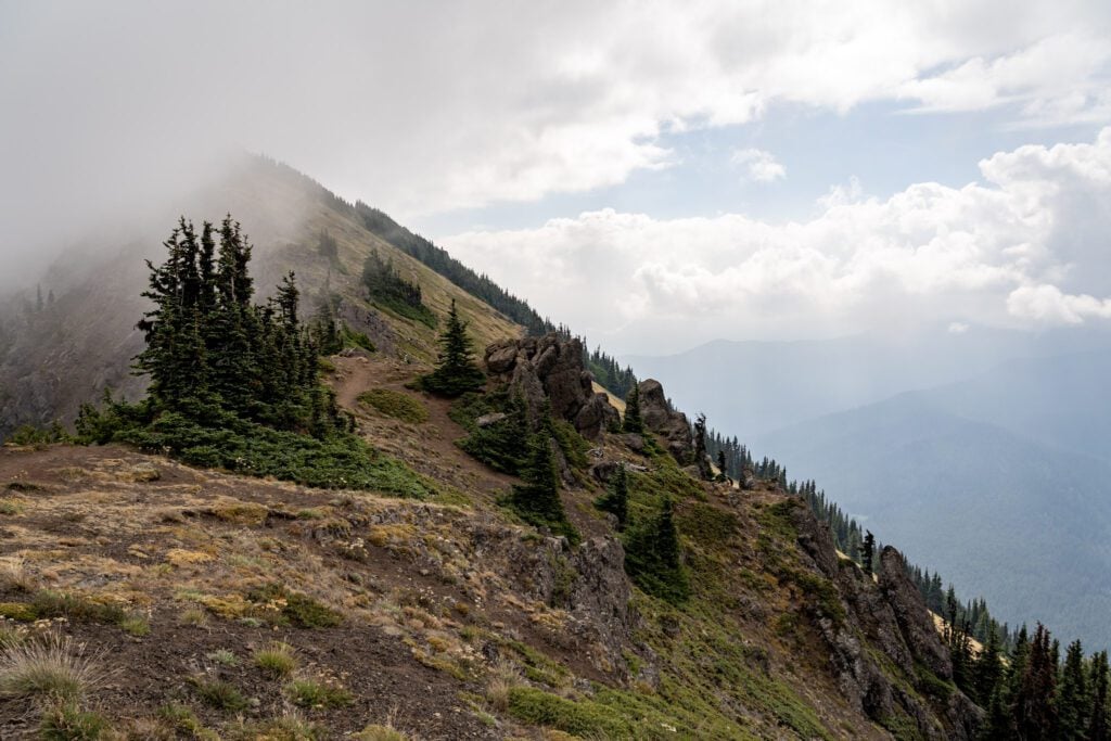
The first option, and the most straightforward, is to hop on the Klahhane Ridge Trail from the junction just below the lake.
To get from the junction to the top of the ridge, you’re looking at another two miles and around 1,500 feet of climbing, and a lot of it is steep.
It requires some extra climbing, but if you’re here on a clear day, it’s hard to beat the views from the top of Klahhane Ridge, both of the Olympic Mountains and of the Strait of Juan de Fuca.
The other option is to use the Hurricane Ridge Shuttle (summer only) to make this hike a one-way hike starting from the Switchback Trailhead.
We actually came up with this idea on the trail up on the ridge. We realized that the shuttle means that you can cut out a lot of the climbing you’d have to do if you made this an one way hike for the low price of $1 per person.
Here’s how it would work.
You park at the Lake Angeles Trailhead, then hop on the shuttle and take it up to the Switchback Trailhead, which is just below the main parking lot for Hurricane Ridge.
Make sure to time this with the shuttle, which comes every hour (the schedule can be found here).
From there, you do the brutal climb from the trailhead to the top of Klahhane Ridge, which climbs about 1,800 feet over the course of 2.5 miles (this is to the high point on the ridge, which is a mile or so past the trail junction with Heather Park).
However, once you’re at the high point on the ridge, it’s all downhill from there!
Hike down the ridge (great views, though it’s a steep and rocky descent) to Lake Angeles, and then continue down to the trailhead.
Rather than doing all that climbing, you’ve got a short, intense climb at the beginning, then a whole lot of downhill AND you get to see both the lake and also the views from the ridge. Magic (if your knees can handle all that down hill)!
Again, this doesn’t work outside of the summer (Memorial Day to Labor Day) because the shuttle isn’t running.
Planning a Trip to Olympic National Park?
We’d Love to Help!
We have a bunch of detailed guides to visiting the Olympic Peninsula that are all based on our own personal experience exploring the park.
- All of our Favorite Things to Do in Olympic National Park
- How to Plan a Perfect Olympic National Park Itinerary (3-4 Days)
- Where to Stay in Olympic National Park: A Complete Guide
- The Best Hikes in Olympic National Park: A Helpful Hiking Guide
- Hiking the Enchanted Valley Trail: A Perfect 2-3 Day Backpacking Trip in Olympic National Park
