
Hiking the Klahhane Ridge Trail: A Complete Trail Guide
One of the reasons we love Olympic National Park is the breadth of different landscapes you’ll find within its (somewhat confusing and fragmented) boundaries.
You have everything from rugged rocky beaches up and down the Pacific Coast, to dense coastal temperate rainforests with all of the ferns and moss you could possibly want, to crystal clear alpine lakes and rocky ridgelines.
At the end of the day, we’re mountain people, so that alpine section – Hurricane Ridge – is our happy place in Olympic National Park.
There are numerous hikes to choose from that will take you to some great views and alpine lakes, and we think the best of the bunch is the trail that traverses Sunrise Ridge and brings you to the top of Klahhane Ridge.
From this trail, you’ll have nearly nonstop sweeping views of the surrounding landscapes, including staggering views of Mount Olympus and the Olympic Range and views out over the Strait of Juan de Fuca towards Vancouver Island.
In this guide, we’re going to cover everything you need to experience the Klahhane Ridge Trail safely and confidently.
We’ll talk about the best route, the best time of year and time of day to hit the trail, and then take you through a play-by-play of our experience on the hike so that you know exactly what to expect.
Sound good to you? Let’s get into it.
Disclaimer: Some of the links in this post, like hotel links, are affiliate links, meaning at no additional cost to you, we make a little bit of money if you click through and book. That being said, we would never recommend something to you that we don’t stand behind 100%.
Klahhane Ridge: Trail Details
- Length: 8.3 miles
- Elevation Gain: 2,600 feet
- Trail Type: Out and Back
- Difficulty: Moderate / Hard
- Pass Required? National Park Pass
- Dog-Friendly? No
- Trailhead Location: Hurricane Ridge Loop Trailhead
The Route Options for Hiking to Klahhane Ridge
Before we get into the meat and potatoes of this guide, we want to take a second to talk about which route to take up to Klahhane Ridge.
There are three main routes that people tend to take that get you up to the top of Klahhane Ridge:
- Sunrise Ridge to Klahhane Ridge: This version of the hike starts at the main parking lot for Hurricane Ridge, climbs up to Sunrise Ridge and traverses over to meet up with the Switchback Trail for the climb up to Klahhane Ridge. Great views throughout the hike of the Olympic Range and all the way out to Vancouver Island (on a clear day). Here’s the trail on AllTrails.
- The Switchback Trail: This is the shortest and most direct version of the hike. This route leaves from a trailhead just below the main parking lot at Hurricane Ridge called the Switchback Trailhead (here on Google Maps) and follows a set of steep, exposed switchbacks up to Klahhane Ridge. It’s 3.1 miles with nearly 1,500 feet of elevation gain, so if you’re in the mood for an intense workout, this is it! Here’s the trail on AllTrails.
- The Full Heather Park + Lake Angeles Loop: The complete circuit that starts from the bottom of the valley (near the Hurricane Ridge entrance station), climbs ~5,000 feet up to Klahhane Ridge, and then goes right back down. This is probably best done as an overnight hike because it’s a LOT of elevation gain for a day hike. 12 miles and 5,000 feet of elevation gain. Here’s the trail on AllTrails.
Of these options, we strongly recommend the first option – the hike along Sunrise Ridge – for most people because it’s the best bang-for-your-buck.
This is the version we’re going to describe throughout this guide.
We’re going to eliminate the full Heather Park – Lake Angeles loop because 5,000 feet of elevation gain in a day is too much for most people (including us).
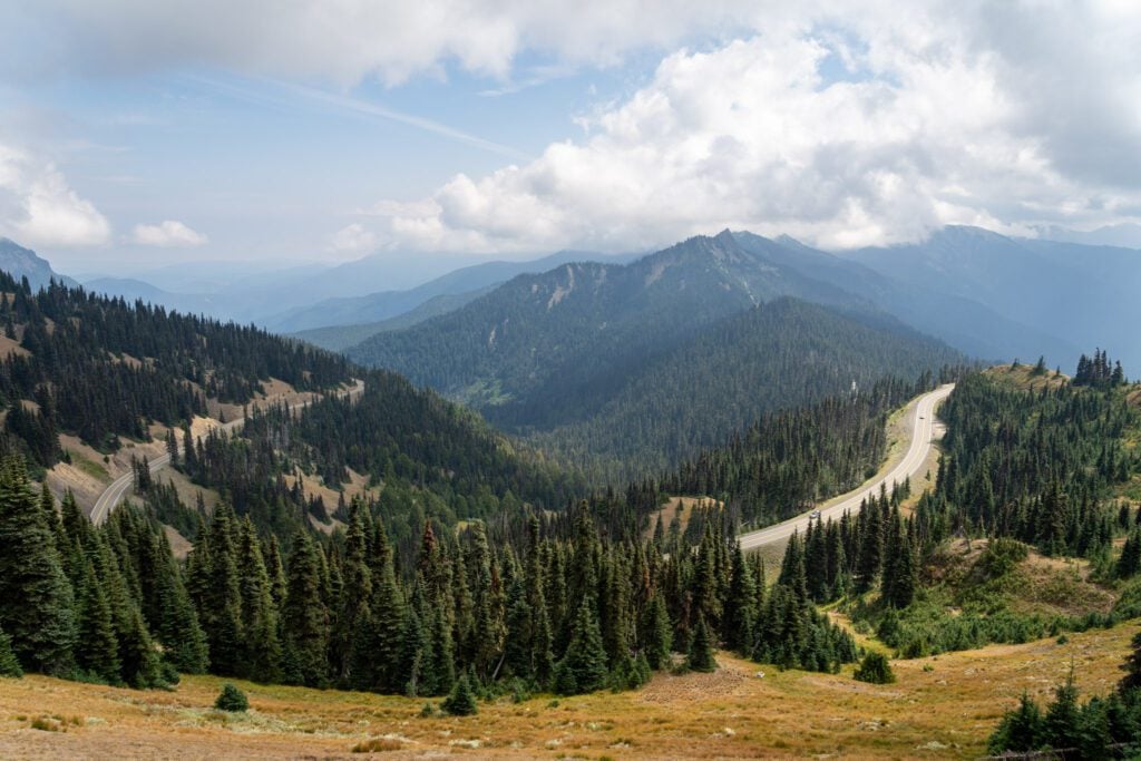
Many of our favorite views on the trail (though we did this hike on a cloudy day where the Olympics were shrouded in a thick layer of clouds) were from various points on Sunrise Ridge, which you would totally miss if you did the version of the hike from the Switchback Trailhead.
Which is why we wouldn’t really recommend that version.
Plus, parking at the Switchback Trailhead can be dicey, and the shuttle doesn’t stop at the Switchback Trailhead on the way down, so that’s not really a good option if you’re hoping to make use of the shuttle.
As we were on the trail, we realized that there is a fourth option that we would also recommend.
However, it’s worth noting that this version is only feasible during the summer months when the Hurricane Ridge shuttle is running from Port Angeles.
For this version, you park your car at Hurricane Ridge and do the trail as we describe above until you get to the top of Klahhane Ridge.
The middle section of this stretch of trail is downhill on the way out to Klahhane Ridge, which means you have some climbing to do on the way back (when it’s likely warmer and you’re already tired).
Once you’re at Klahhane Ridge, rather than going all the way back to Hurricane Ridge, you can turn this hike into a one-way hike that bypasses that climb by continuing all the way down to the Switchback Trailhead, which means dropping 3,000 feet in roughly 1.5 miles.
How Difficult is This Hike?
Overall, this hike falls squarely in the moderate category, we think. As a reminder, we’re talking about the version of the hike that traverses Sunrise Ridge up to Klahhane Ridge.
It’s not a walk in the park – you still need to be prepared for a long hike in the wilderness with proper footwear, snacks and water, and appropriate clothes – but it isn’t the toughest hike in the park.
Though it is worth noting that my Garmin watch measured 8.5 miles, nearly a mile and a half more than AllTrails (which is known for being inaccurate sometimes).
You need to be prepared for a long hike (wear some sort of shoes with good support!).
The thing to know about this hike is that the bulk of the climbing happens once you meet up with the Switchback Trail at the base of Klahhane Ridge. From there, you climb about 800 feet in a mile or so, and that entire section of trail is exposed to the sun.
You’ll want sunscreen and plenty of water. And an early start will help (we got through this part before it was too warm).
There is also some climbing to do on the way back to the trailhead, because this hike along the ridge is basically a series of rolling hills.
Getting to the Trailhead for Klahhane Ridge
Since we’re talking about the version of this hike that starts from the main parking lot at Hurricane Ridge and traverses Sunrise Ridge, you’ll start this hike from that main parking lot.
There are three things to keep in mind that are related to starting from this parking lot.
First, the historic Hurricane Ridge Day Lodge that stood here for nearly 80 years burned down a few years ago, so the amenities up here are relatively few and far between.
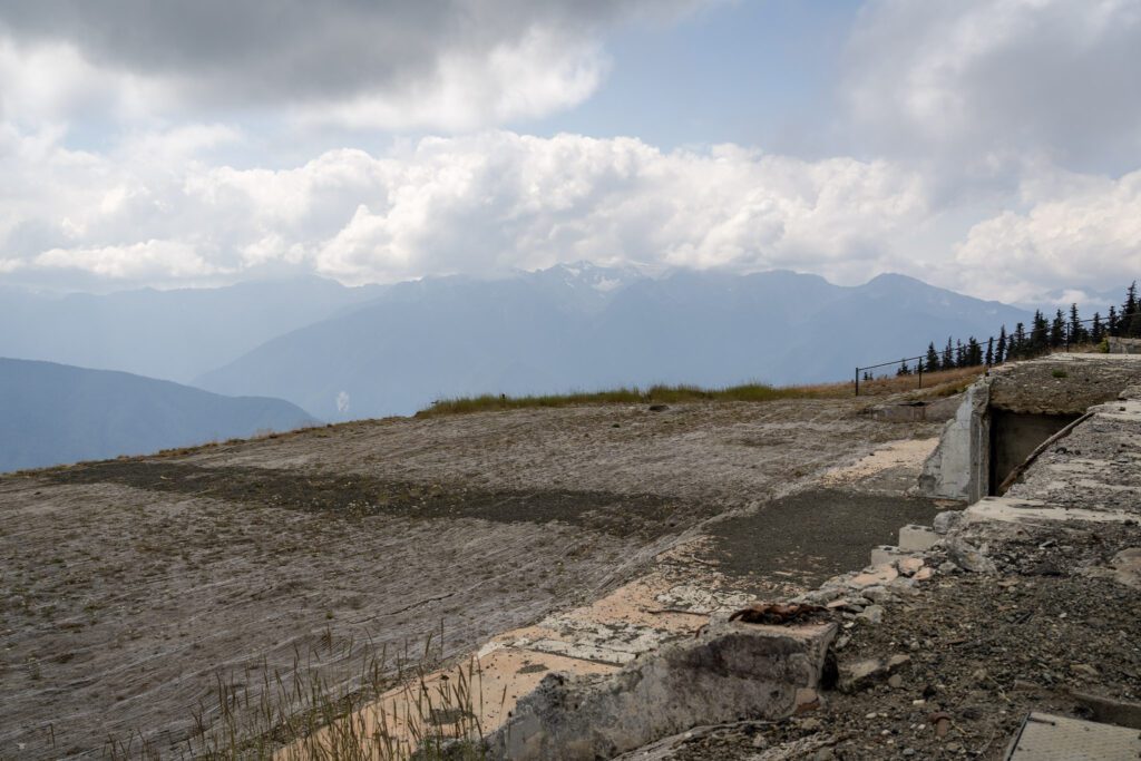
There is no potable water up at Hurricane Ridge at the time of writing, so you need to be prepared with all of the water you need for the day before you make the drive up.
There are bathrooms, rangers, and a small gift shop in a shipping container.
There is a visitor center at the base (find it here on Google Maps) that’s a good place to stop for water, bathrooms, and trail conditions before you head up.
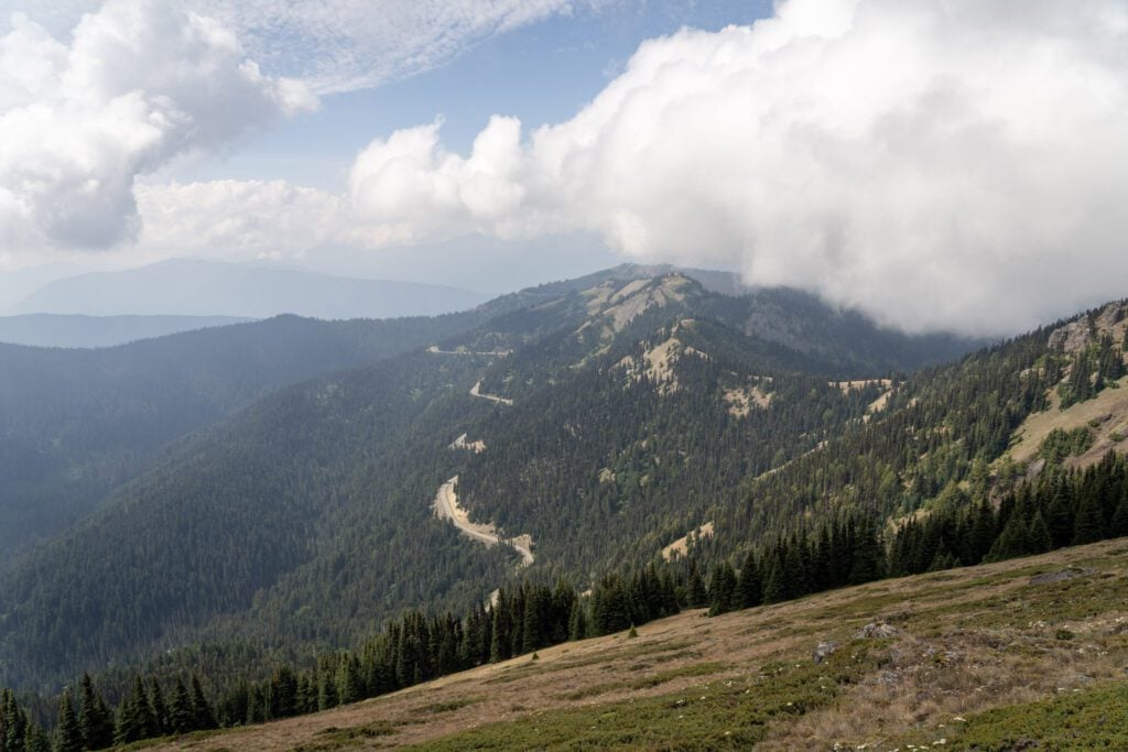
Second, the drive up to Hurricane Ridge is kind of intense.
It climbs 5,000 feet from Port Angeles along a windy two-lane road, and there are often slower cars and trucks with long lineups behind them.
If you don’t want to deal with that drive (or doubt your car’s ability to make it), we have a great option for you: the Hurricane Ridge Shuttle.
From Memorial Day to Labor Day (roughly), the shuttle runs from the Gateway Transit Center in Port Angeles (here on Google Maps) up to the main parking lot at Hurricane Ridge, stopping at the Lake Angeles Trailhead (near the park entrance station on the road up) and the Switchback Trailhead on the way up.
It costs $1 per person, and you need to have your entry fee BEFORE you get on the bus (either a physical pass, or a digital version that you can display on your phone).
It only runs in the summer, but it’s a great option to have if you don’t want to drive yourself!
I asked a ranger how often it fills up, and they laughed and said “almost never”, which makes me think it’s going to be available, even on busy weekends.
Third, lines to pass the Heart-o-Hills Entrance Station at the base of the road can be long at peak times, particularly on the weekends.
You can’t bypass this line if you already have an entrance pass, so we’d recommend getting an early start (also worth noting that the shuttle does bypass this line).
When we went up at 7am or so, there was no line at all, and there was plenty of parking at the top.
We were shocked to see a long lineup of cars when we drove back down around 2pm on a Sunday, and we wouldn’t want to be waiting an hour or more to get into the park.
The Best Time to Hike to Klahhane Ridge
There are two separate questions within the “best time” section, and we’re going to tackle both of them: the best time of year to hike this trail, and the best time of day to hike this trail.
In terms of the best time of year to hike Klahhane Ridge, the answer is clearly summer and fall, roughly July through October.
This trail sits between 5,000 and 6,000 feet above sea level. During the winter and spring, this trail is covered in snow, and you need to have appropriate equipment to handle that, like snow shoes and microspikes.
Let’s talk about the word “summer” in the context of the Pacific Northwest.
Because of the elevation at Hurricane Ridge, the snow tends to linger through June and, sometimes, into early July.
Which is different from other parts of the country and is something that always trips people up when they come to visit the mountainous national parks in Washington.
This trail is generally clear of snow into October, though the first days of snowfall at Hurricane Ridge tend to be in mid-October (but we’re talking inches per week, not a full snowpack). By the middle of November, this trail will be covered in snow.
In terms of the best time of day to do this hike, our recommendation is simply to avoid starting in the middle of the day (10am to 3pm).
There are a few reasons for that.
First, the aforementioned lineup at the entrance station at the base of the road that brings you up to Hurricane Ridge.
It can move pretty slow, and it would be a shame to lose an hour of your precious time spent on the Olympic Peninsula to sitting in line.
Second is the fact that, as we mentioned, the big climb that gets you up to Hurricane Ridge is basically fully exposed, and there is very little shade on the rest of the trail along the ridge.
If you’re out here at the peak of the day, it’s going to be hot.
Last is the light. The light on the surrounding landscape is going to be best in the early morning and late afternoon, and that’s when we’d target being out here.
If you manage to be on the trail within an hour or two of sunrise or sunset, you’ll get a nice golden glow on the Olympics that is pure magic.
Our Experiences Hiking to Klahhane Ridge
As I’ve already mentioned a couple of times, we did this hike as an out-and-back from the main parking lot at Hurricane Ridge, so that’s the version we’re going to walk through in this section.
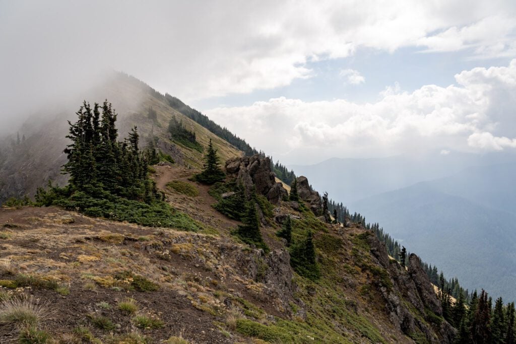
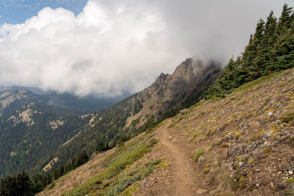
We did this hike on a cloudy day with limited views of the Olympic Range, and there was a thick fog bank coming up and over the ridge from Heather Park that obscured the view out toward Port Angeles.
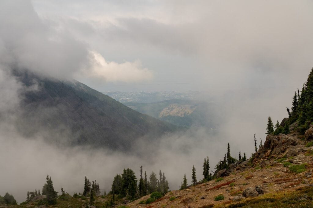
However, having been up at Hurricane Ridge on a clear day before, we can absolutely imagine how spectacular this hike would be with full visibility.
The entire time you’re on Sunrise Ridge, you’ll have views of Mount Olympus and the rest of the Olympics (though they’ll be behind you).
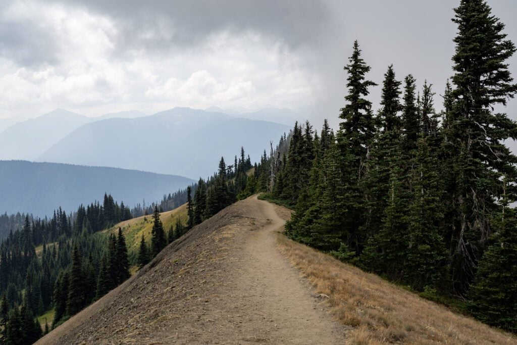
Then up on Klahhane Ridge, you’ll be able to see out to the north over Port Angeles and Vancouver Island (which means you can see all the way to Canada!).
Obviously, our pictures below don’t quite reflect that, but chances are you’re going to get a better day than we are considering this hike is really only accessible in the summer, when bluebird sunny days are most common.
From the main parking lot, you’ll head up the Cirque Rim Nature Trail towards Sunrise Point (which is a short but worthwhile detour).
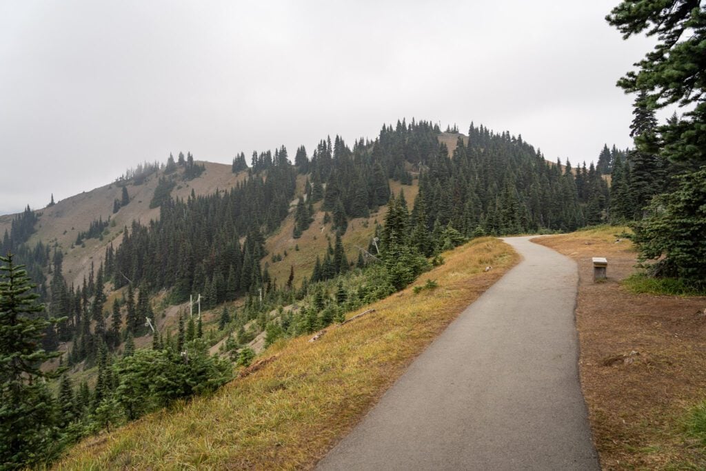
There’s a little bit of climbing along a mostly paved path, and you’ll pass a ski lift that reminds you that, during the winter, there is a small ski area up here (more information here).
At the turnoff to Sunrise Point, there’s a trail junction where you’ll stay right to head out along Sunrise Ridge.
Unfortunately, this section of the trail is right above the road, so you can hear traffic noise for the first mile or so of the trail.
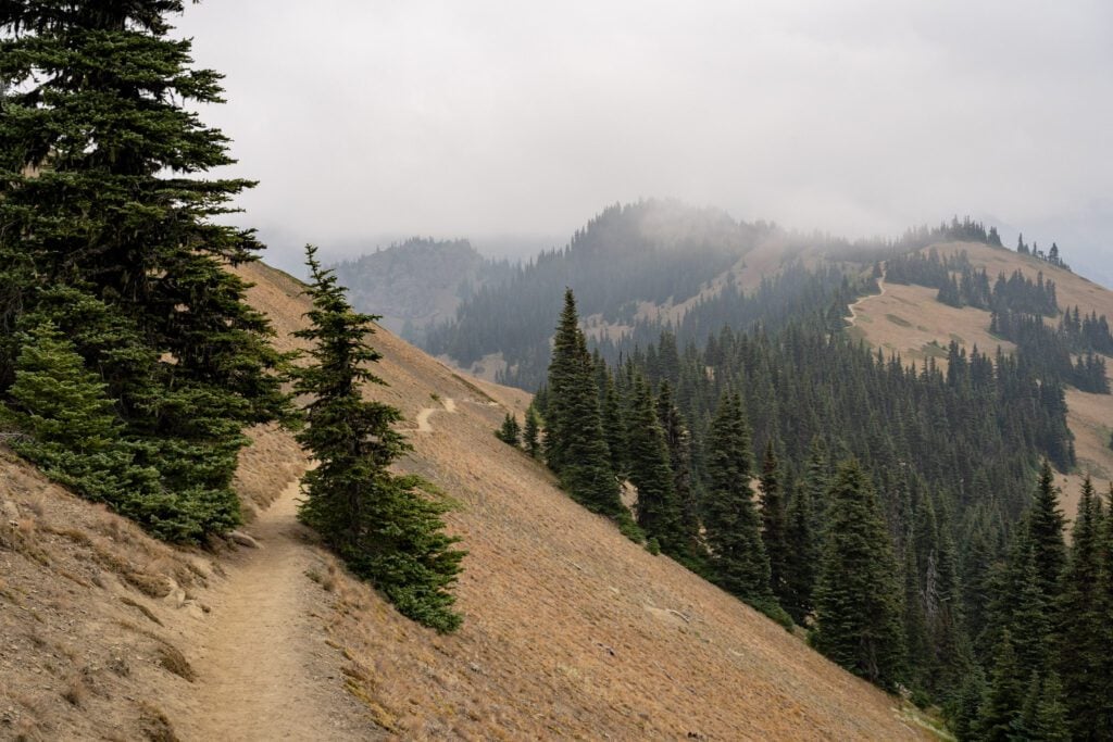
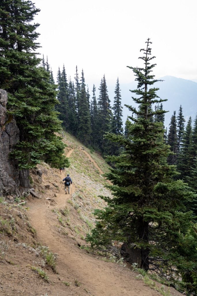
It’s also worth noting that sections of this trail, especially in this first section below Sunrise Point on the ridge, are very narrow with a steep hillside downhill on one side.
I’m generally very anxious about heights, and it was fine for me, but it’s something to keep in mind if you’re also not a huge fan of heights or exposure.
From the trail junction, you’ll do a short, slightly downhill section before starting a short climb to a high point, where you have great views back towards Hurricane Ridge with the mountains.
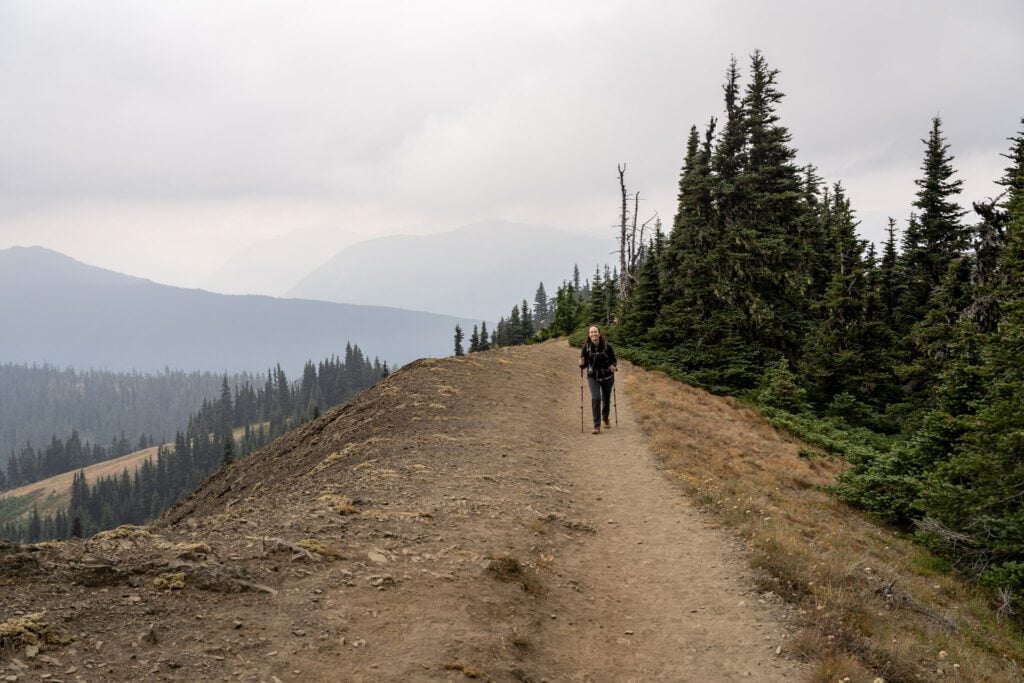
From there, it’s a long, mostly downhill walk to meet up with the Switchback Trail to make the final ascent to Klahhane Ridge.
You’ll pass the junction with the Mount Angeles Trail, which takes you up to the top of Mount Angeles (which requires a lot of elevation gain and some scrambling).
Stay right, and shortly after that junction you’ll meet up with the Switchback Trail.
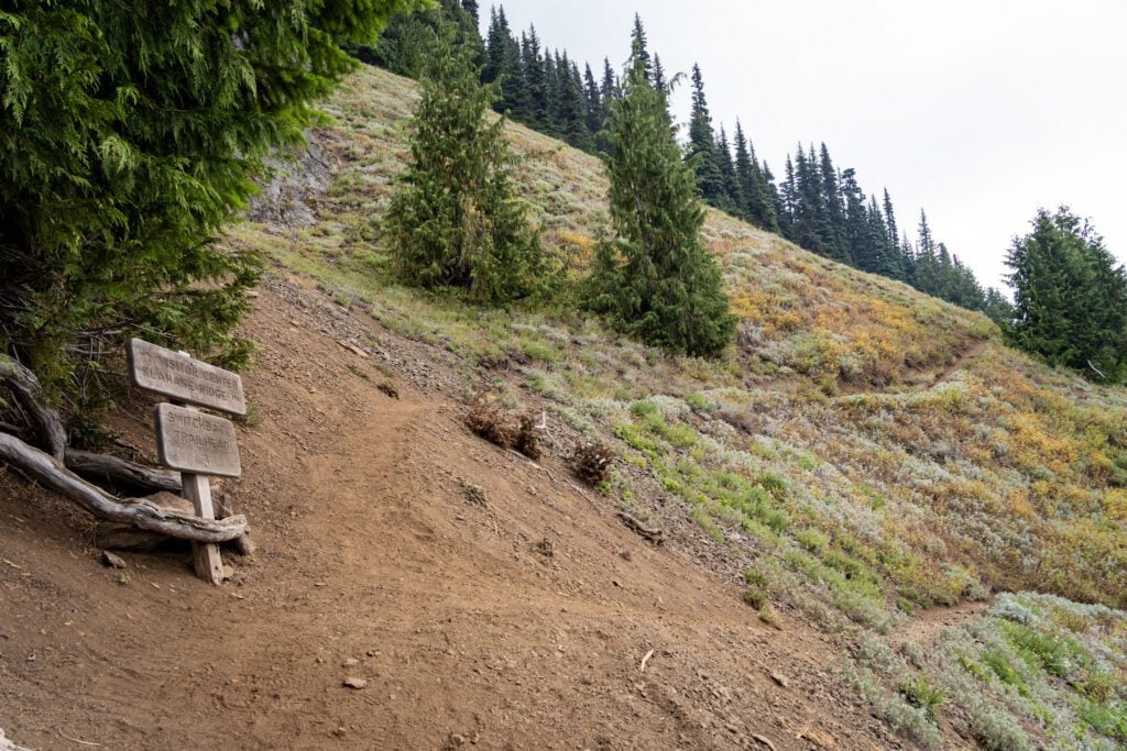
As we mentioned above, this is the most difficult part of the hike, especially if you’re hitting it midday when the sun is blazing because this section is fully exposed with very little shade.
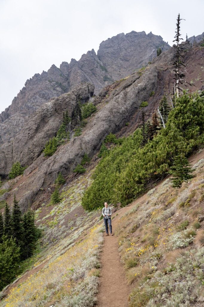
It’s an aggressive climb, and you’ll gain 800 feet in about a mile via a set of switchbacks that get tighter the closer you get to the top.
Along the climb, you have some nice views of rocky Mount Angeles off to your left.
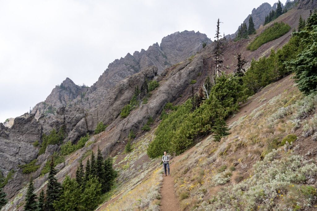
The end of the trail, technically speaking, is where you hit the trail junction with the Heather Park Trail, which forms one side of that long, intense loop we talked about in the “routes” section above.
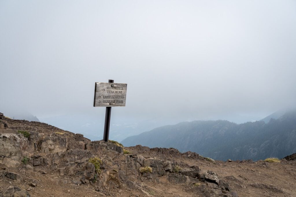
However, we’d encourage you to push a bit further up the trail – about a quarter of a mile with some climbing – because the views out towards Port Angeles and the Strait of Juan de Fuca get significantly better with just a little bit more effort.
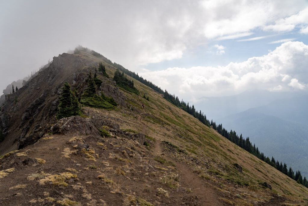
Once you’ve gotten your share of views, rest, and snacks, head back the way you came (unless you’re planning on using the shuttle to get back to your car, in which case you’d head all the way down to the Switchback Trailhead or Lake Angeles Trailhead).
Unfortunately, part of the hike out here along the ridge was downhill, which means you do have some climbing to do on the way back.
However, hiking in this direction means that the Olympics are right in front of you for nearly the entire hike back, which is a nice incentive.
Planning a Trip to Olympic National Park? We’d Love to Help!
We have a bunch of detailed guides to visiting the Olympic Peninsula that are all based on our own personal experience exploring the park.
- All of our Favorite Things to Do in Olympic National Park
- How to Plan a Perfect Olympic National Park Itinerary (3-4 Days)
- Where to Stay in Olympic National Park: A Complete Guide
- The Best Hikes in Olympic National Park: A Helpful Hiking Guide
- Hiking the Enchanted Valley Trail: A Perfect 2-3 Day Backpacking Trip in Olympic National Park
