How to Hike the Tom, Dick, and Harry Mountain Trail
If you’re looking for a hike within 90 minutes of Portland that takes you to one of the best views of snow-capped Mt. Hood that you’ll find anywhere in Oregon, you’re in the right place. Tom, Dick, and Harry Mountain is one of our favorite hikes near Mt. Hood, and we’ve done it several times now.
It’s a popular hike, so we wouldn’t plan on a whole lot of solitude when you’re out on the trail. Between the lake, wildflowers, and views of Hood (and St. Helens, Adams, Rainier, and Jefferson on a clear day), we totally see why it’s so popular.
In this guide, we’re going to give you all of the information you need to hike to Tom, Dick, and Harry Mountain, including important details (like parking, permits, and bathrooms at the trailhead) and a trail report from our hikes, so that you’re prepared when you hit the trail.

Disclaimer: Some of the links in this post, like hotel links, are affiliate links, meaning at no additional cost to you, we make a little bit of money if you click through and book. That being said, we would never recommend something to you that we don’t stand behind 100%.
Tom, Dick, and Harry Mountain Trail Details
- Length: 8 miles to the main viewpoint, an extra mile to the true summit
- Elevation Gain: 1,500 ft.
- Season: July – September/October
- Trail Type: Out and Back
- Difficulty: Moderate / Hard
- Pass Required? Northwest Forest Pass or America the Beautiful Pass
- Dog-Friendly? Yes, on a leash
- Trailhead Location: Mirror Lake Trailhead
The Route for this Hike
There’s really only one way up and one way down here. You’ll start at the Mirror Lake Trailhead, which is on the right just before reaching Government Camp if you’re heading east on 26.
From there, you’ll head up to Mirror Lake, and then leave most of the hikers behind as you climb up to the rocky ridge above the lake.
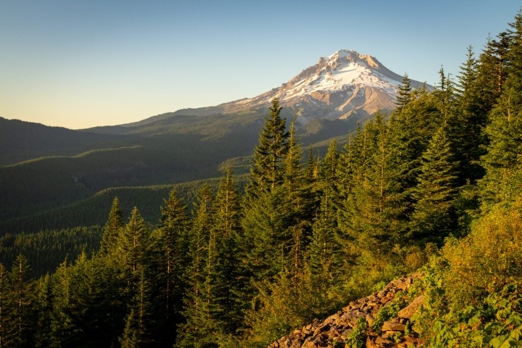
From there, you’ll have excellent panoramic views of Mt. Hood National Forest and, on a clear day, a nice collection of snowy peaks in Washington and Oregon.
There are two things to know about the route.
First, this hike is so-named because of its three distinct peaks on the ridge. The full route to reach all three peaks includes about a half mile of navigating the rocky ridge that is a little bit of a scramble at times.
Most hikers stop at the main viewpoint, but the trail actually continues to two more “peaks” (hence the name).
We’ve done about half of this section, and decided we were good with the views we’d gotten. It’s worth going a little further to escape the crowds at the main viewpoint, but we’re not convinced it’s worth making your way all the way to the eastern summit (“Harry”).
The second thing to know is that technically, there is a way to make this a loop by connecting it with some of the ski runs of Skibowl West, the ski resort adjacent to the trailhead parking lot.
We’ve never done it this way, but we much prefer loops to out-and-back hikes, so we may try it next time we make it up here.
When to Hike Tom, Dick, and Harry Mountain
Let’s split this section into two subsections – what season to do this hike, and what time of day to do this hike.
The Best Time of Year to Do This Hike
In terms of time of year, the best time of year to do this hike without snow (and the associated equipment and risk) is going to be July through October.
We’ve done this hike in July both times, and it’s an excellent time with wildflowers and rhododendrons in full bloom.
It’s variable in terms of when exactly in July the wildflowers start popping, but in our experience it’s somewhere in the second or third week most years.
We did it over July 4th this last time, and it was too early. We also did it in late July, and it was a little late.
Plus, July is the most impressive time to do this hike for the snowy peaks. By August, the snow is starting to recede and the surrounding peaks are a little less impressive.
August and September are also great times to tackle this hike in terms of weather. September is a little less crowded, with kids back in school, but the weather is also going to be slightly more variable.
What Time of Day to Hike to Do This Hike
Because this hike is so popular (and because there’s a shorter hike that leaves from the same trailhead), this section is more important. Especially if you’re doing it on a summer weekend.
There are two times of day that we’d recommend here – early morning (like, really early) and late afternoon. Parking is an issue at the trailhead, and it’s best to avoid trying to park here between about 10:00 am and 2:00 pm.
If you do this in the early morning, you’ll have no trouble finding parking and will have the trail up to Tom, Dick, and Harry largely to yourself.
You’ll encounter some crowds on the way back down, especially in the section between the lake and the parking lot. Plan on getting to the trailhead before 8:30 am or so for best results.
We’ve actually done this hike in the late afternoon multiple times, and it’s a lovely time of day to do it.
Parking shouldn’t be much of an issue, since the people that showed up between 10:00 am and 12:00 pm to do the Mirror Lake section have largely cleared out. The trail will be busy still, but the views along the trail and from the summit during golden hour are magical.
Be sure to bring a headlamp along for the hike down if you stay up there for sunset – it gets dark fast when you’re in the dense forest below Mirror Lake.
Getting to the Mirror Lake Trailhead
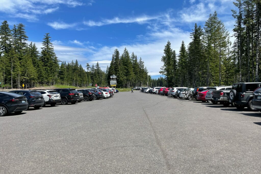
The Mirror Lake Trailhead – which is where the Mirror Lake Trail and the hike up to Tom, Dick, and Harry Mountain begin – is along Highway 26 just two miles west of Government Camp. It’s right next to Mt. Hood Skibowl, if you’re familiar with the area in the winter.
Located on the south side of the freeway – on your right if you’re coming from Portland, on your left if you’re coming from Government Camp – the trailhead is about as easy to access as it comes.
Parking at the Trailhead
Parking at the trailhead is competitive in the summer, particularly on weekend mornings. There is ample parking available at the trailhead, but because it shares a trailhead with a very, very accessible hike (to Mirror Lake), it’s almost always packed on a nice weekend.
To get a parking spot, you’ll want to be there bright and early (before 8:30 am should do the trick). Or, alternatively, come later in the day when there’s more turnover.
We’ve done this hike around sunset a couple of times, and it’s a nice time of day to do it. Bring a headlamp for the way down!
Keep in mind that you cannot park in the Mt. Hood Skibowl parking area – when we did this trail last, they had actually put up concrete barriers between the parking areas to make this abundantly clear.
Trail Report: Hiking the Tom, Dick, and Harry Mountain Trail
In this section, we’re going to give you a brief trail report based on our experience hiking this trail. We’ve split the trail into three distinct sections, and we’ll cover each section so that you know exactly what to expect when you hit the trail.
For reference, we’ve done this hike twice, almost exactly two years apart, and both times we’ve done it in the late afternoon around sunset.
The Trail to Mirror Lake
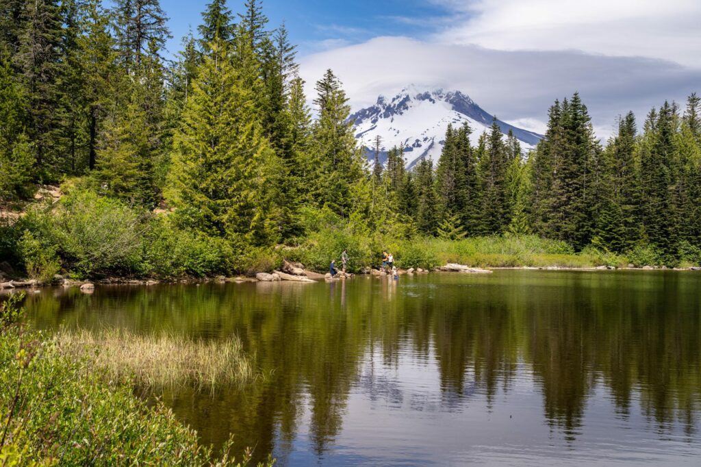
Distance: 2 miles // Elevation Gained: 550 feet
This is the busiest section of the trail, and we’d guess roughly 80% of hikers are here to hike up just as far as Mirror Lake.
There will be times when you are stuck behind a family with six kids slowly making their way up the narrow trail (especially the switchbacks). Don’t be afraid to politely ask if you can pass them!
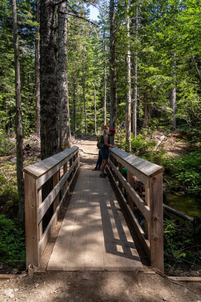
The trail starts with a short paved section that gets you to your first of many wooden bridges crossing various creeks and rivers along the trail.
From there, it’s a nice, steady uphill grade through a pine forest for about a mile before the climb to Mirror Lake begins in earnest.
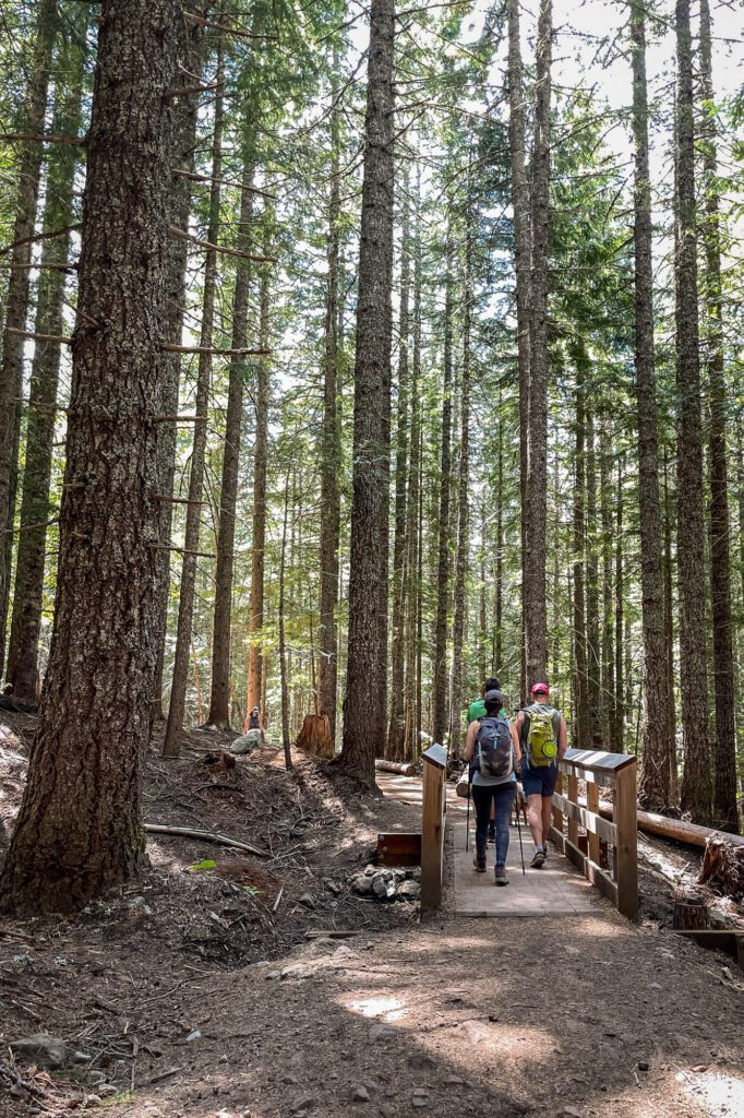
The hardest part about this first section is the set of switchbacks that you’ll need to tackle right before you reach the lake.
Luckily, they’re relatively short, and they’re completely forested, so it stays cool even on the hottest days.
At the top of the switchbacks, you’ll hit a trail junction. If you go left, you’ll head around the south side of the lake.
If you head right, you’ll skirt the west side of the lake and start the ascent to Tom, Dick, and Harry Mountain.
The best view of the lake with Hood reflected in its surface is at the southwestern corner of the lake (roughly here), and it’s fun to walk around the lake.
BE AWARE, in the early summer, the trail near the southwest corner of the lake is flooded, and you’ll have to wade through knee deep water or head back around the lake. We ran into this in early July, and had to go back the way we came around the lake to pick up the trail.
You can also count on being swarmed by mosquitos and flies, so you probably won’t want to linger too long.
The Climb to the Ridge (and the First Viewpoint)
Distance: 2 miles // Elevation Gained: 950 feet
Whether you chose to walk around the lake, or you took the right to keep going up the trail, this is where the ascent really starts. Like we mentioned above, you’ll leave around 80% (if not more) of the hikers behind as you pass Mirror Lake.
The first part of this section is actually a fairly straightforward climb along the mountainside. It’s a steady incline – not too steep, but not too easy either – and this is where you start to see wildflowers and rhododendrons along the trail.
There are also a couple of places along this section where the trail breaks out of the forest, and you get some pretty excellent views of the Zigzag Valley and Mt. Hood’s southern face.

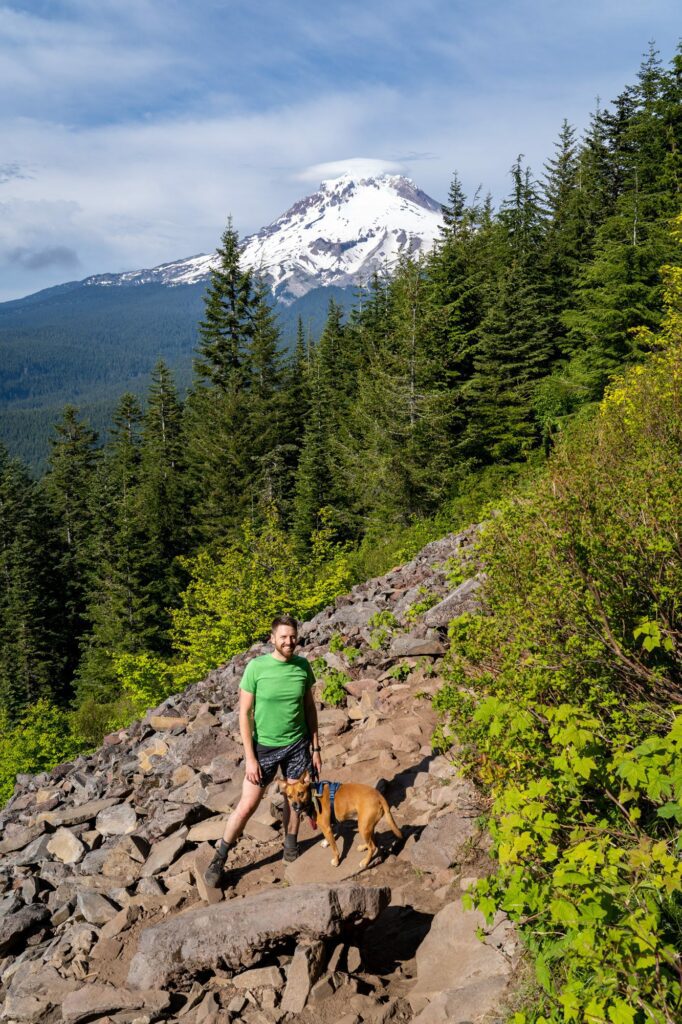
Eventually, at about 3.2 miles into your hike, you’ll hit a big rock pile (I mean BIG – I’d really like to know what the story behind this huge pile of rocks is – if you know, leave us a comment!) and a sharp left hand turn in the trail, and the final ascent begins.
It starts off as a similar steady climb, but quickly becomes steeper as you get closer to the top.
I made the mistake of telling my hiking buddies that the hardest part of the trail was over when we rounded that bend, and they were not amused when I was, in fact, completely wrong.
At 4 miles, you’ll reach the main viewpoint. It’s a pretty level rocky outcropping with plenty of good sitting rocks to plop down and admire the views while you grab a well-earned snack and some water (or a beer!).
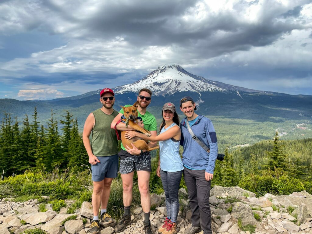
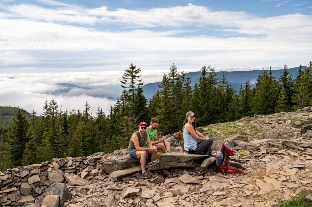
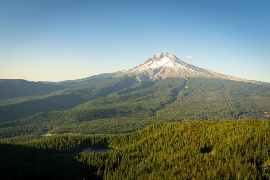
From this viewpoint, you’ll have an excellent view across the Zigzag Valley, with both Mt. Hood and Mirror Lake in view.
On a clear day, you’ll be able to see Hood, Adams, St. Helens, and even Rainier (faintly) to the north, and Jefferson to the south. It’s a lovely place to hang out, though it can get pretty windy up there.
The Hike / Scramble Along the Ridge
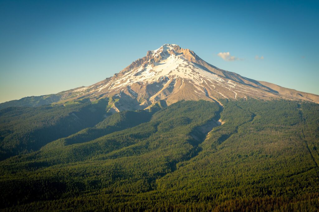
Distance: 1 miles // Elevation Gained: 200 feet
The trail continues along the ridge to two more viewpoints, though this section of trail is definitely more advanced, requiring some route finding and scrambling to stay on the trail.
On our first visit, we followed the trail for about a quarter mile past the main viewpoint to escape the crowds, and it was well worth it.


However, we weren’t convinced that it would be worth it to continue all the way to the summit of “Harry” so we decided to turn around and call it good after hanging out for 20 minutes or so.
From there, it’s a relatively easy hike back down the way you came. If you’re up there around sunset, make sure you have a headlamp for the way down!
